


0
Ascents

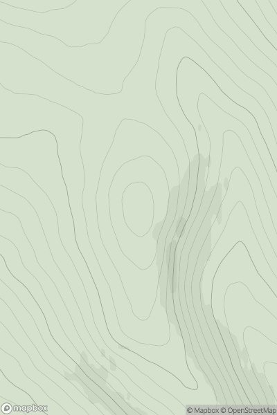
 Cairngorms
 0
0 650.0
650.0User Activity
No recent Activity
![Thumbnail image for Glas Mheall Mor [Loch Maree to Loch Broom] showing contour plot for surrounding peak](/static/img/mountains_img_db/1013_Glas_Mheall_Mor_[Loch_Maree_to_Loch_Broom].png)
0
Ascents
Loch Maree to Loch Broom
0
979.5User Activity
No recent Activity
0
Ascents
Glen Albyn and the Monadh Liath
0
639.1User Activity
No recent Activity
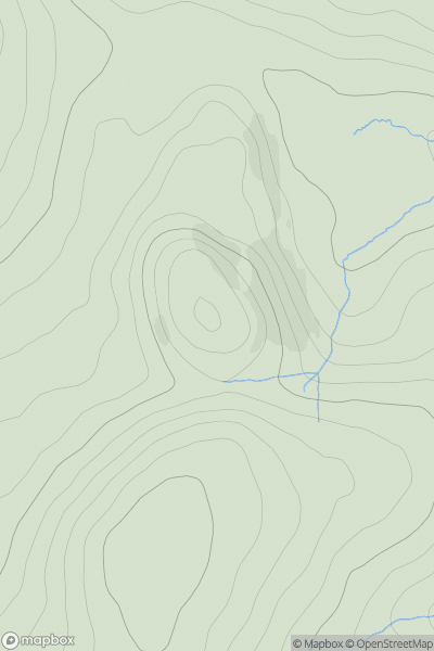
![Thumbnail image for Creag Mhor [Cairngorms] [NJ057047] showing contour plot for surrounding peak](/static/img/mountains_img_db/594_Creag_Mhor_[Cairngorms]_[NJ057047].png)
0
Ascents
Cairngorms
0
895.0User Activity
No recent Activity
0
Ascents
Braemar to Montrose
0
1083.2User Activity
No recent Activity
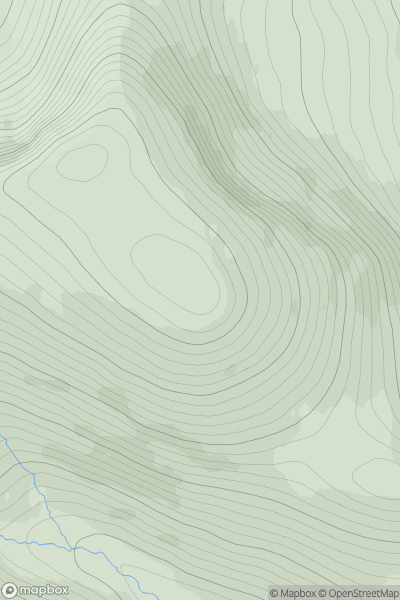
![Thumbnail image for Hunt Hill [Braemar to Montrose] showing contour plot for surrounding peak](/static/img/mountains_img_db/499_Hunt_Hill_[Braemar_to_Montrose].png)
0
Ascents
Braemar to Montrose
0
705.0User Activity
No recent Activity