

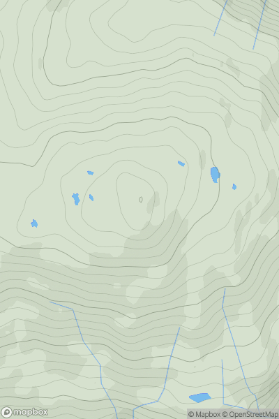
_(Taobh_Iomaire).png)


0
Ascents

 South Mayo and Central Galway
 0
0 763.0
763.0User Activity
No recent Activity
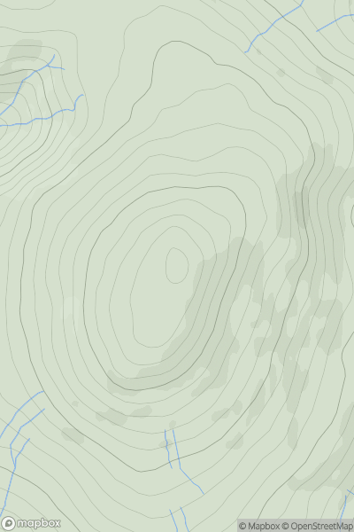
![Thumbnail image for Stob Glas [Loch Lomond to Strathyre] [NN403202] showing contour plot for surrounding peak](/static/img/mountains_img_db/2944_Stob_Glas_[Loch_Lomond_to_Strathyre]_[NN403202].png)
0
Ascents
Loch Lomond to Strathyre
0
830.6User Activity
No recent Activity
![Thumbnail image for Sgurr Breac [The Fannaichs] showing contour plot for surrounding peak](/static/img/mountains_img_db/1042_Sgurr_Breac_[The_Fannaichs].png)
0
Ascents
The Fannaichs
0
999.6User Activity
No recent Activity
0
Ascents
Glen Etive to Glen Lochy
0
709.0User Activity
No recent Activity
.png)
0
Ascents
Lake District C&W
0
859.0User Activity
No recent Activity
0
Ascents
The Glenkens to Annandale
0
697.0User Activity
No recent Activity