


0
Ascents

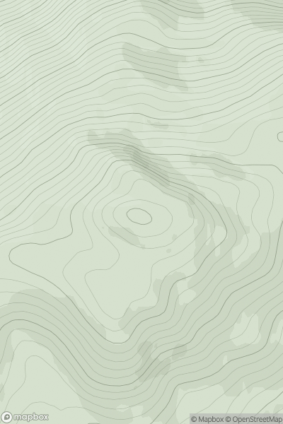
 Killilan to Inverness
 0
0 817.9
817.9User Activity
No recent Activity
0
Ascents
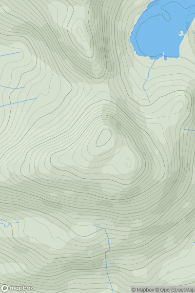
Snowdonia
0
710.0User Activity
No recent Activity
0
Ascents
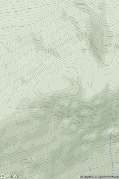
Fort William to Loch Treig & Loch Leven
0
796.0User Activity
No recent Activity
0
Ascents
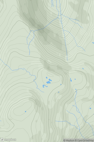
Lake District C&W
0
735.3User Activity
No recent Activity
0
Ascents
North Skye and Raasay
0
638.2User Activity
No recent Activity
.png)
0
Ascents
Shehy Mountains
0
838.2User Activity
No recent Activity