

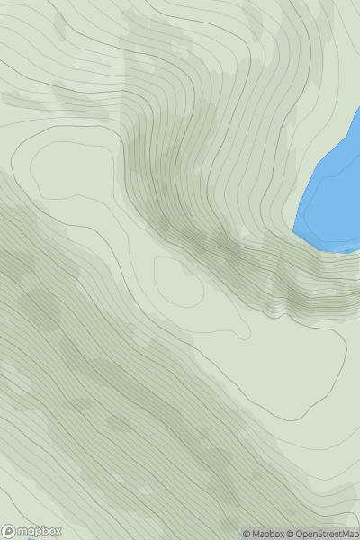
![Thumbnail image for Meall nan Aighean [Altnaharra to Dornoch] showing contour plot for surrounding peak](/static/img/mountains_img_db/4472_Meall_nan_Aighean_[Altnaharra_to_Dornoch].png)


0
Ascents

 Altnaharra to Dornoch
 0
0 696.6
696.6User Activity
No recent Activity
0
Ascents
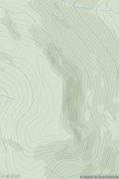
Loch Broom to Strath Oykel
0
778.0User Activity
No recent Activity
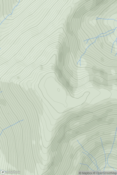
![Thumbnail image for Beinn na Cloiche [Fort William to Loch Treig & Loch Leven] showing contour plot for surrounding peak](/static/img/mountains_img_db/335_Beinn_na_Cloiche_[Fort_William_to_Loch_Treig_&_Loch_Leven].png)
0
Ascents
Fort William to Loch Treig & Loch Leven
0
645.1User Activity
No recent Activity
.png)
0
Ascents
Wicklow Hills S
0
660.7User Activity
No recent Activity
0
Ascents
The Glenkens to Annandale
0
651.4User Activity
No recent Activity
0
Ascents
Lake District E
0
873.3User Activity
No recent Activity