


0
Ascents

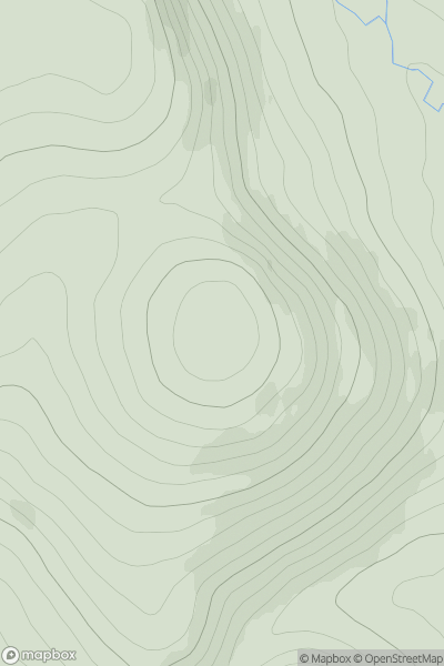
 Glen Tromie to Glen Tilt
 0
0 772.0
772.0User Activity
No recent Activity
0
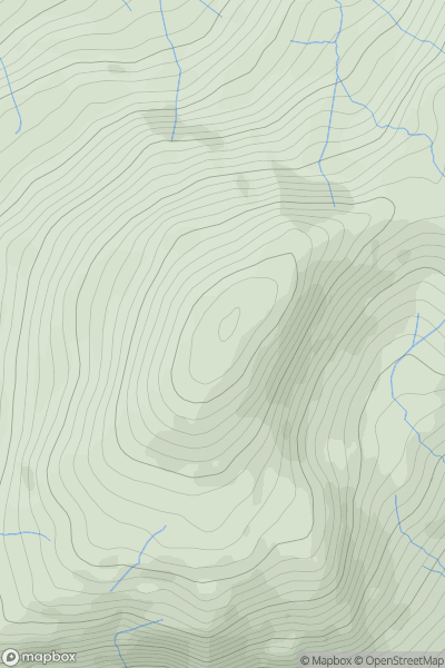
Ascents
Lake District S
0
773.0User Activity
No recent Activity
![Thumbnail image for Beinn Dearg Mhor [South-East Skye and Scalpay] showing contour plot for surrounding peak](/static/img/mountains_img_db/1282_Beinn_Dearg_Mhor_[South-East_Skye_and_Scalpay].png)
0
Ascents
South-East Skye and Scalpay
0
709.3User Activity
No recent Activity
0
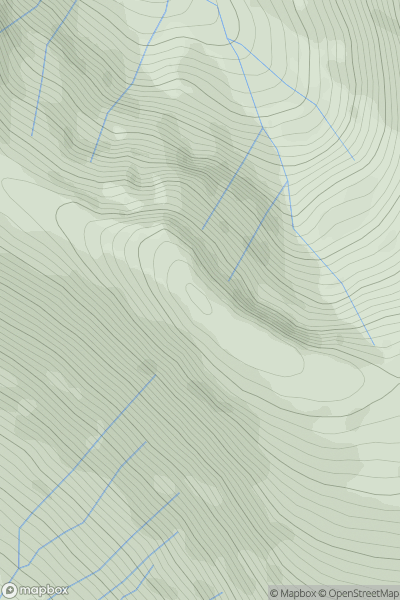
Ascents
Glen Etive to Glen Lochy
0
941.5User Activity
No recent Activity
0
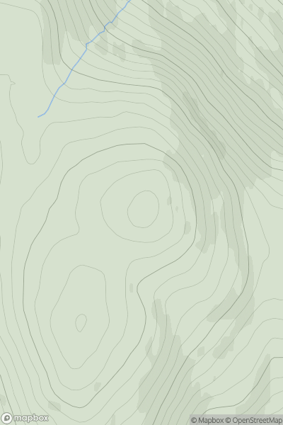
Ascents
Fort William to Loch Treig & Loch Leven
0
742.0User Activity
No recent Activity
![Thumbnail image for Green Hill [Braemar to Montrose] showing contour plot for surrounding peak](/static/img/mountains_img_db/3091_Green_Hill_[Braemar_to_Montrose].png)
0
Ascents
Braemar to Montrose
0
867.7User Activity
No recent Activity