


0
Ascents

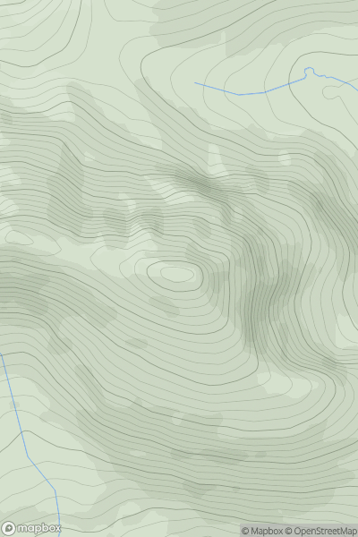
 Loch Maree to Loch Broom
 0
0 934.0
934.0User Activity
No recent Activity
![Thumbnail image for Meall nam Fiadh [Loch Treig to Loch Ericht] showing contour plot for surrounding peak](/static/img/mountains_img_db/3016_Meall_nam_Fiadh_[Loch_Treig_to_Loch_Ericht].png)
0
Ascents
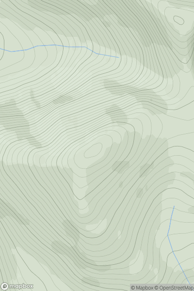
Loch Treig to Loch Ericht
0
861.0User Activity
No recent Activity
0
Ascents
Durness to Loch Shin
0
800.8User Activity
No recent Activity
0
Ascents
Loch Maree to Loch Broom
0
952.4User Activity
No recent Activity
0
Ascents
Lochinver to Ullapool
0
648.0User Activity
No recent Activity
![Thumbnail image for Beinn Ghlas [Glen Lyon to Glen Dochart & Loch Tay] showing contour plot for surrounding peak](/static/img/mountains_img_db/144_Beinn_Ghlas_[Glen_Lyon_to_Glen_Dochart_&_Loch_Tay].png)
0
Ascents
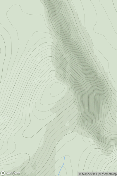
Glen Lyon to Glen Dochart & Loch Tay
0
1103.0User Activity
No recent Activity