

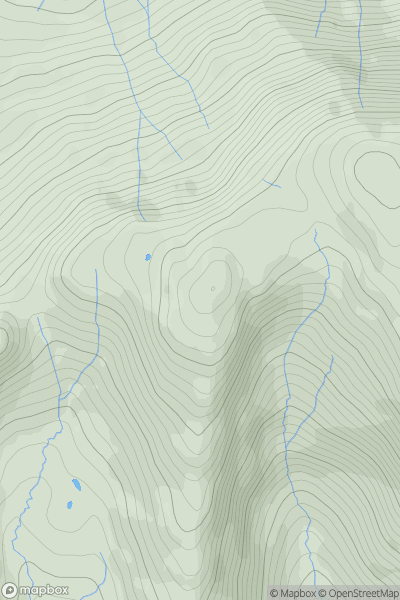
![Thumbnail image for Sron Gharbh [Tongue to Wick and Helmsdale] showing contour plot for surrounding peak](/static/img/mountains_img_db/6797_Sron_Gharbh_[Tongue_to_Wick_and_Helmsdale].png)


0
Ascents

 Tongue to Wick and Helmsdale
 0
0 609.0
609.0User Activity
No recent Activity
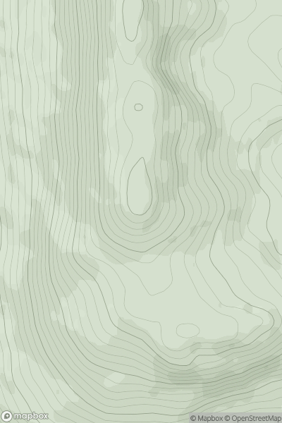
![Thumbnail image for Glas Mheall Mor [Loch Ericht to Glen Tromie & Glen Garry] [NN563673] showing contour plot for surrounding peak](/static/img/mountains_img_db/398_Glas_Mheall_Mor_[Loch_Ericht_to_Glen_Tromie_&_Glen_Garry]_[NN563673].png)
0
Ascents
Loch Ericht to Glen Tromie & Glen Garry
0
829.3User Activity
No recent Activity
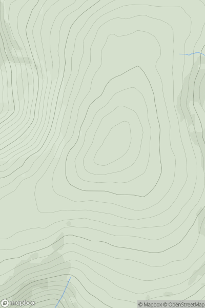
![Thumbnail image for Coille Mhor [Glen Albyn and the Monadh Liath] showing contour plot for surrounding peak](/static/img/mountains_img_db/4230_Coille_Mhor_[Glen_Albyn_and_the_Monadh_Liath].png)
0
Ascents
Glen Albyn and the Monadh Liath
0
675.0User Activity
No recent Activity
0
Ascents
Lake District S
0
745.0User Activity
No recent Activity
0
Ascents
Glen Lyon to Glen Dochart & Loch Tay
0
920.1User Activity
No recent Activity
0
Ascents
Aberystwyth to Welshpool
0
741.0User Activity
No recent Activity