


0
Ascents

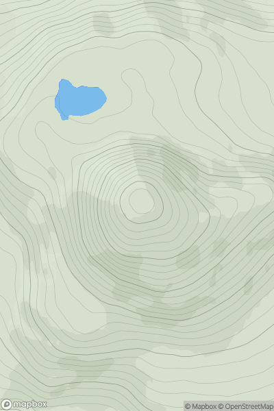
 Loch Torridon to Loch Maree
 0
0 671.0
671.0User Activity
No recent Activity
![Thumbnail image for Creag Dhubh [Loch Lochy to Loch Laggan] showing contour plot for surrounding peak](/static/img/mountains_img_db/680_Creag_Dhubh_[Loch_Lochy_to_Loch_Laggan].png)
0
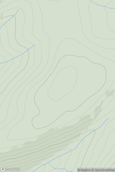
Ascents
Loch Lochy to Loch Laggan
0
658.0User Activity
No recent Activity
.png)
0
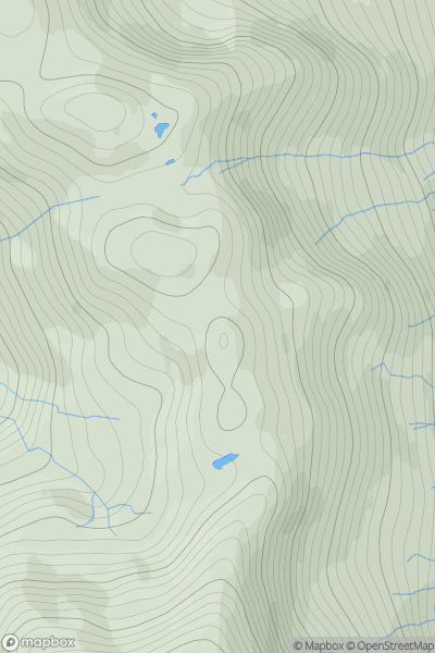
Ascents
Glen Tromie to Glen Tilt
0
994.0User Activity
No recent Activity
![Thumbnail image for Dun Mor [Glen Tromie to Glen Tilt] showing contour plot for surrounding peak](/static/img/mountains_img_db/4070_Dun_Mor_[Glen_Tromie_to_Glen_Tilt].png)
0
Ascents
Glen Tromie to Glen Tilt
0
690.1User Activity
No recent Activity
0
Ascents
Pitlochry to Braemar & Blairgowrie
0
817.5User Activity
No recent Activity
0
Ascents
Glen Shiel to Loch Hourn and Loch Quoich
0
681.4User Activity
No recent Activity