


0
Ascents

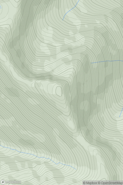
 Loch Duich to Cannich
 0
0 929.0
929.0User Activity
No recent Activity
0
Ascents
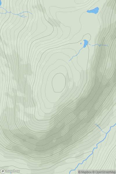
Barmouth to Betws-y-Coed and Bala
0
661.0User Activity
No recent Activity
0
Ascents
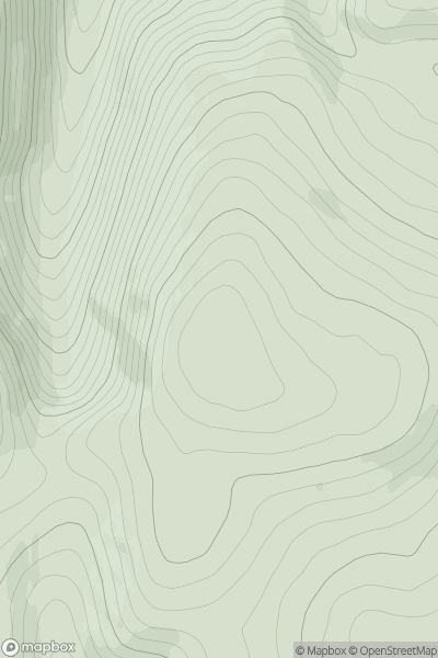
The River Tweed to the English Border
0
643.0User Activity
No recent Activity
0
Ascents
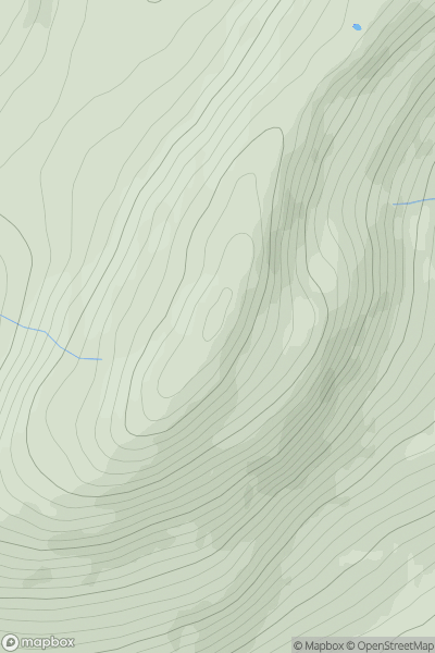
Glen Albyn and the Monadh Liath
0
895.5User Activity
No recent Activity
0
Ascents
Loch Rannoch to Glen Lyon
0
1043.0User Activity
No recent Activity
0
Ascents
Loch Tay to Perth
0
729.3User Activity
No recent Activity