


0
Ascents

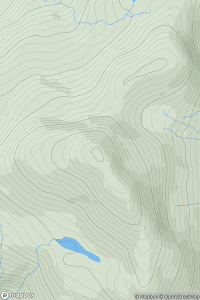
 Loch Duich to Cannich
 0
0 918.0
918.0User Activity
No recent Activity

0
Ascents
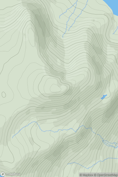
Glen Lyon to Glen Dochart & Loch Tay
0
815.0User Activity
No recent Activity
0
Ascents
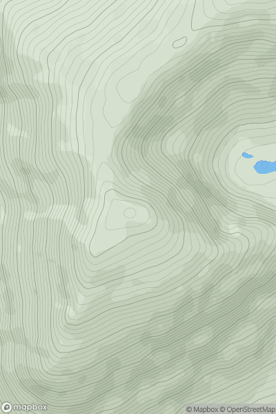
Snowdonia
0
648.0User Activity
No recent Activity
0
Ascents
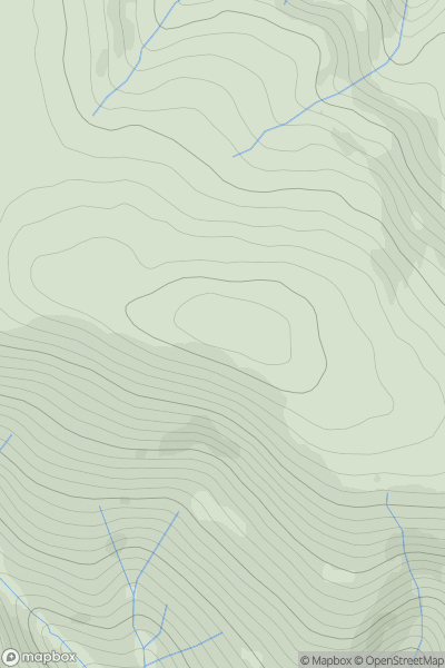
Snowdonia
0
978.0User Activity
No recent Activity
.png)
0
Ascents
Derryveagh, Glendowan
0
751.0User Activity
No recent Activity
0
Ascents
Central Scotland from Dumbarton to Montrose
0
721.0User Activity
No recent Activity