


0
Ascents

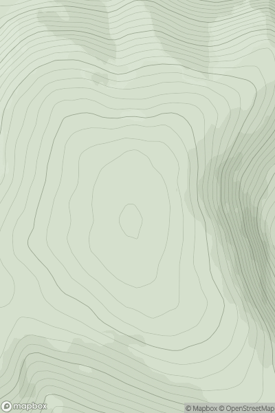
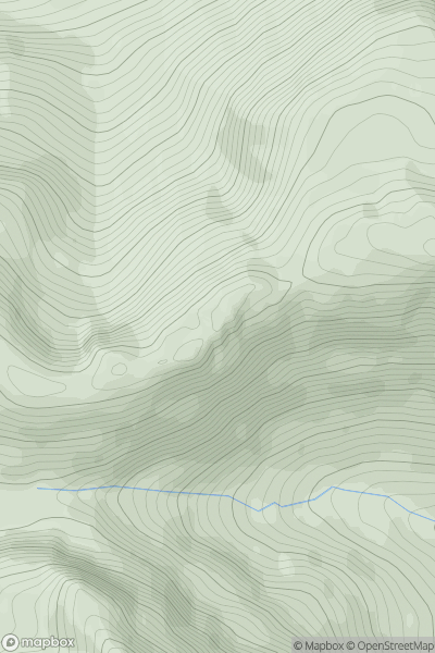
 Braemar to Montrose
 0
0 692.0
692.0User Activity
No recent Activity
0
Ascents
Bala to Welshpool
0
646.0User Activity
No recent Activity
0
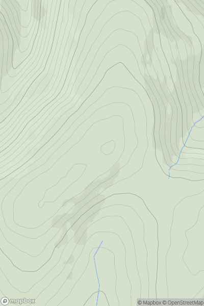
Ascents
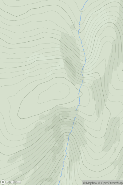
Cairngorms
0
643.2User Activity
No recent Activity
0
Ascents
Dingle Peninsula - E of Dingle
0
670.7User Activity
No recent Activity
0
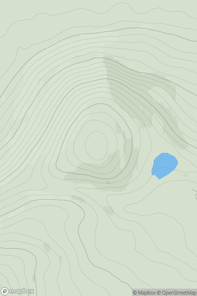
Ascents
Sunart and Ardgour
0
696.9User Activity
No recent Activity
0
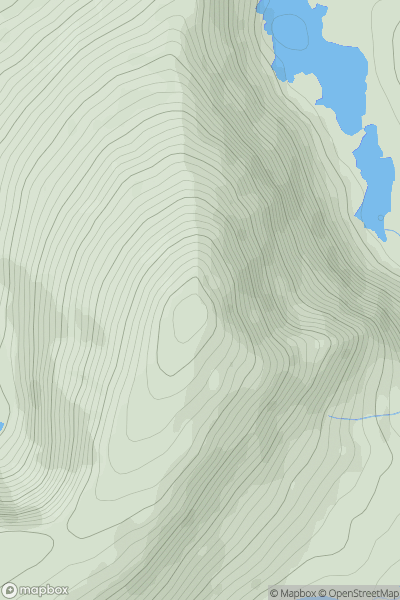
Ascents
The Glenkens to Annandale
0
668.0User Activity
No recent Activity