


0
Ascents

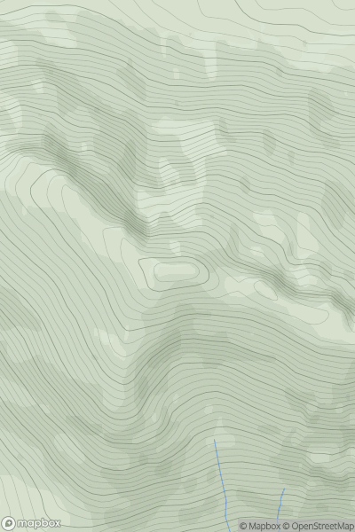
 Glen Etive to Glen Lochy
 0
0 980.0
980.0User Activity
No recent Activity
0
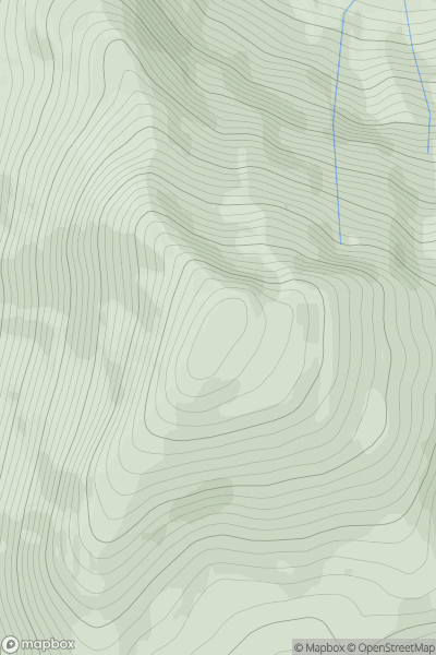
Ascents
Glen Etive to Glen Lochy
0
960.0User Activity
No recent Activity
![Thumbnail image for Stob a' Choire Odhair [Glen Etive to Glen Lochy] showing contour plot for surrounding peak](/static/img/mountains_img_db/255_Stob_a'_Choire_Odhair_[Glen_Etive_to_Glen_Lochy].png)
0
Ascents
Glen Etive to Glen Lochy
0
945.0User Activity
No recent Activity
![Thumbnail image for Meall nan Eun [Glen Etive to Glen Lochy] showing contour plot for surrounding peak](/static/img/mountains_img_db/258_Meall_nan_Eun_[Glen_Etive_to_Glen_Lochy].png)
0
Ascents
Glen Etive to Glen Lochy
0
928.0User Activity
No recent Activity
![Thumbnail image for Aonach Beag [Fort William to Loch Treig & Loch Leven] showing contour plot for surrounding peak](/static/img/mountains_img_db/279_Aonach_Beag_[Fort_William_to_Loch_Treig_&_Loch_Leven].png)
0
Ascents
Fort William to Loch Treig & Loch Leven
0
1234.0User Activity
No recent Activity
![Thumbnail image for Aonach Mor [Fort William to Loch Treig & Loch Leven] showing contour plot for surrounding peak](/static/img/mountains_img_db/281_Aonach_Mor_[Fort_William_to_Loch_Treig_&_Loch_Leven].png)
0
Ascents
Fort William to Loch Treig & Loch Leven
0
1220.4User Activity
No recent Activity