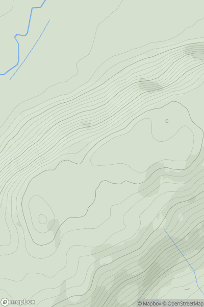
Ariel drone view of mountainous landscape with rolling clouds flowing over peak

Journal your hikes and share your adventures.

Bag peaks across the UK & Ireland, track your progress and see updates from Donder's growing community of hikers.

Donder's profile view available to users after sign-up, shows example user with progress tracking, hiking journal and user leaderboard

Thumbnail image for Long Mountain [Welshpool to Hay-on-Wye] showing contour plot for surrounding peak
WLS
Icon of location pin
408m
Icon of vertical, double ended, arrow to symbolise height of mountain

Long Mountain [Welshpool to Hay-on-Wye]

Icon of mountain used to symbolise the number of ascents made by users

0
Ascents

Thumbnail image for Beinn Tangabhal (Ben Tangaval) showing contour plot for surrounding peak
SCO
Icon of location pin
332m
Icon of vertical, double ended, arrow to symbolise height of mountain

Beinn Tangabhal (Ben Tangaval)

Icon of mountain used to symbolise the number of ascents made by users

0
Ascents

Thumbnail image for Carn Dearg [Loch Treig to Loch Ericht] [NN417661] showing contour plot for surrounding peak
SCO
Icon of location pin
941m
Icon of vertical, double ended, arrow to symbolise height of mountain

Carn Dearg [Loch Treig to Loch Ericht] [NN417661]

Icon of mountain used to symbolise the number of ascents made by users

0
Ascents

Thumbnail image for Muncaster Fell showing contour plot for surrounding peak
ENG
Icon of location pin
232m
Icon of vertical, double ended, arrow to symbolise height of mountain

Muncaster Fell

Icon of mountain used to symbolise the number of ascents made by users

0
Ascents

Thumbnail image for Cruach nan Capull [Loch Fyne to Bute and the Firth of Clyde] [NS095795] showing contour plot for surrounding peak
SCO
Icon of location pin
612m
Icon of vertical, double ended, arrow to symbolise height of mountain

Cruach nan Capull [Loch Fyne to Bute and the Firth of Clyde] [NS095795]

Icon of mountain used to symbolise the number of ascents made by users

0
Ascents

Thumbnail image for Binsey showing contour plot for surrounding peak
ENG
Icon of location pin
447m
Icon of vertical, double ended, arrow to symbolise height of mountain

Binsey

Icon of mountain used to symbolise the number of ascents made by users

0
Ascents