

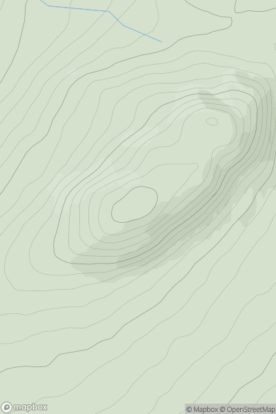
![Thumbnail image for Beinn na h-Uamha [Morvern and Kingairloch] showing contour plot for surrounding peak](/static/img/mountains_img_db/1381_Beinn_na_h-Uamha_[Morvern_and_Kingairloch].png)


0
Ascents

 Morvern and Kingairloch
 0
0 465.0
465.0User Activity
No recent Activity
0
Ascents
Loch Treig to Loch Ericht
0
514.0User Activity
No recent Activity
_(Cnoc_Achadh_Liag).png)
0
Ascents
North Mayo
0
237.0User Activity
No recent Activity
0
Ascents
Cairngorms
0
829.0User Activity
No recent Activity
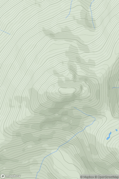
![Thumbnail image for Cruach nam Miseag [Loch Fyne to Bute and the Firth of Clyde] showing contour plot for surrounding peak](/static/img/mountains_img_db/1435_Cruach_nam_Miseag_[Loch_Fyne_to_Bute_and_the_Firth_of_Clyde].png)
0
Ascents
Loch Fyne to Bute and the Firth of Clyde
0
607.0User Activity
No recent Activity
0
Ascents
Knoydart to Glen Kingie
0
1040.2User Activity
No recent Activity