


0
Ascents

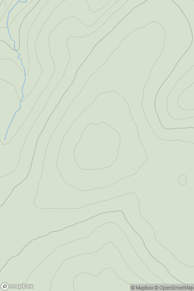
 North Pennines
 0
0 498.6
498.6User Activity
No recent Activity
0
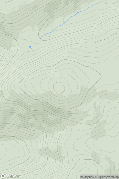
Ascents
Firth of Forth to the River Tweed
0
535.0User Activity
No recent Activity
0
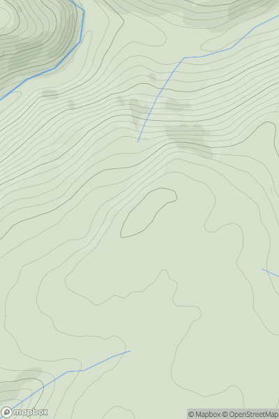
Ascents
Llandudno to Wrexham
0
510.9User Activity
No recent Activity
0
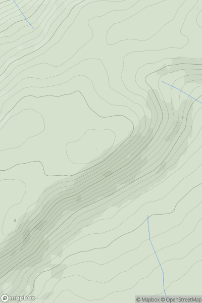
Ascents
South-West Wales
0
462.0User Activity
No recent Activity
0
Ascents
Welshpool to Hay-on-Wye
0
477.0User Activity
No recent Activity
.png)
0
Ascents
The Twelve Bens
0
664.0User Activity
No recent Activity