

.png)


0
Ascents

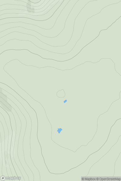
 Sligo and N Roscommon
 0
0 234.0
234.0User Activity
No recent Activity
0
Ascents
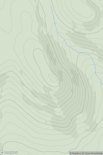
Fraserburgh to the Dee Valley
0
471.0User Activity
No recent Activity
0
Ascents
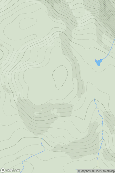
Kyle of Lochalsh to Garve
0
673.4User Activity
No recent Activity
0
Ascents
Glen Shiel to Loch Hourn and Loch Quoich
0
410.0User Activity
No recent Activity
.png)
0
Ascents
Dingle Peninsula - W of Dingle
0
623.0User Activity
No recent Activity
.png)
0
Ascents
Bantry to Clear Island
0
301.0User Activity
No recent Activity