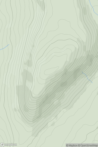
Ariel drone view of mountainous landscape with rolling clouds flowing over peak

Journal your hikes and share your adventures.

Bag peaks across the UK & Ireland, track your progress and see updates from Donder's growing community of hikers.

Donder's profile view available to users after sign-up, shows example user with progress tracking, hiking journal and user leaderboard

Thumbnail image for Croaghaun (Cruachan) showing contour plot for surrounding peak
IRE
Icon of location pin
688m
Icon of vertical, double ended, arrow to symbolise height of mountain

Croaghaun (Cruachan)

Icon of mountain used to symbolise the number of ascents made by users

0
Ascents

Thumbnail image for Pen-y-ghent showing contour plot for surrounding peak
ENG
Icon of location pin
694m
Icon of vertical, double ended, arrow to symbolise height of mountain

Pen-y-ghent

Icon of mountain used to symbolise the number of ascents made by users

0
Ascents

Thumbnail image for Cir Mhor showing contour plot for surrounding peak
SCO
Icon of location pin
798m
Icon of vertical, double ended, arrow to symbolise height of mountain

Cir Mhor

Icon of mountain used to symbolise the number of ascents made by users

0
Ascents

Thumbnail image for Biod an Athair showing contour plot for surrounding peak
SCO
Icon of location pin
314m
Icon of vertical, double ended, arrow to symbolise height of mountain

Biod an Athair

Icon of mountain used to symbolise the number of ascents made by users

0
Ascents

Thumbnail image for Carn Mor Dearg showing contour plot for surrounding peak
SCO
Icon of location pin
1220m
Icon of vertical, double ended, arrow to symbolise height of mountain

Carn Mor Dearg

Icon of mountain used to symbolise the number of ascents made by users

0
Ascents

Thumbnail image for Cat Law showing contour plot for surrounding peak
SCO
Icon of location pin
670m
Icon of vertical, double ended, arrow to symbolise height of mountain

Cat Law

Icon of mountain used to symbolise the number of ascents made by users

0
Ascents