

.png)


0
Ascents

 Mourne Mountains
 0
0 638.0
638.0User Activity
No recent Activity
.png)
0
Ascents
South Cork
0
471.0User Activity
No recent Activity
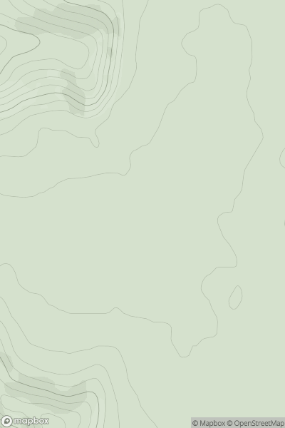
![Thumbnail image for Beinn Bhreac [Loch Long to Loch Lomond] [NN321000] showing contour plot for surrounding peak](/static/img/mountains_img_db/98_Beinn_Bhreac_[Loch_Long_to_Loch_Lomond]_[NN321000].png)
0
Ascents
Loch Long to Loch Lomond
0
680.8User Activity
No recent Activity
.png)
0
Ascents
Wicklow Hills S
0
232.0User Activity
No recent Activity
![Thumbnail image for Kit Hill [South West England] [SX374713] showing contour plot for surrounding peak](/static/img/mountains_img_db/2883_Kit_Hill_[South_West_England]_[SX374713].png)
0
Ascents
South West England
0
334.1User Activity
No recent Activity
0
Ascents
The River Tees to The Wash
0
247.9User Activity
No recent Activity