

_(Cois).png)


0
Ascents

 Galty Mountains
 0
0 641.2
641.2User Activity
No recent Activity
.png)
0
Ascents
Central Pennines
0
402.0User Activity
No recent Activity
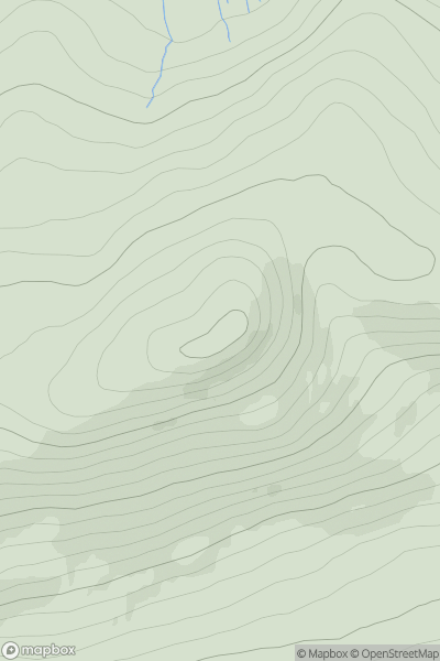
![Thumbnail image for Meall nan Eun [Knoydart to Glen Kingie] showing contour plot for surrounding peak](/static/img/mountains_img_db/756_Meall_nan_Eun_[Knoydart_to_Glen_Kingie].png)
0
Ascents
Knoydart to Glen Kingie
0
667.0User Activity
No recent Activity
.png)
0
Ascents
Leitrim and W Cavan
0
278.0User Activity
No recent Activity
.png)
0
Ascents
Derryveagh, Glendowan
0
227.0User Activity
No recent Activity
0
Ascents
Central Scotland from Dumbarton to Montrose
0
455.0User Activity
No recent Activity