

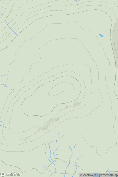
![Thumbnail image for White Hill [The Glenkens to Annandale] [NY038833] showing contour plot for surrounding peak](/static/img/mountains_img_db/13420_White_Hill_[The_Glenkens_to_Annandale]_[NY038833].png)


0
Ascents

 The Glenkens to Annandale
 0
0 249.7
249.7User Activity
No recent Activity
_(Sliabh_an_Airgid).png)
0
Ascents
County Tipperary
0
489.0User Activity
No recent Activity
0
Ascents
North Pennines
0
716.0User Activity
No recent Activity
0
Ascents
Moidart and Ardnamurchan
0
783.0User Activity
No recent Activity
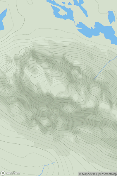
![Thumbnail image for Beinn Bhreac [Arran and Holy Island] [NR943455] showing contour plot for surrounding peak](/static/img/mountains_img_db/1477_Beinn_Bhreac_[Arran_and_Holy_Island]_[NR943455].png)
0
Ascents
Arran and Holy Island
0
575.0User Activity
No recent Activity
0
Ascents
Lochinver to Ullapool
0
731.4User Activity
No recent Activity