


0
Ascents

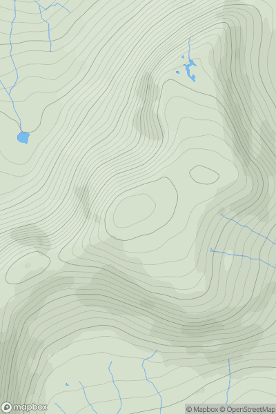
 Canna, Rhum and Eigg
 0
0 571.0
571.0User Activity
No recent Activity
0
Ascents
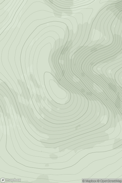
Durness to Loch Shin
0
873.0User Activity
No recent Activity
0
Ascents
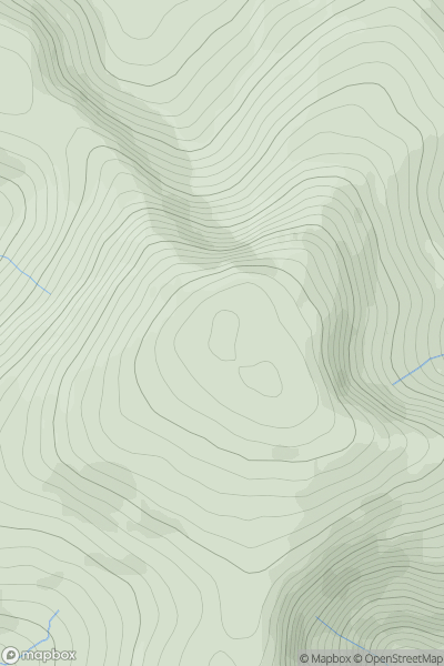
Dolgellau to Machynlleth
0
634.0User Activity
No recent Activity
0
Ascents
Central Pennines
0
724.0User Activity
No recent Activity
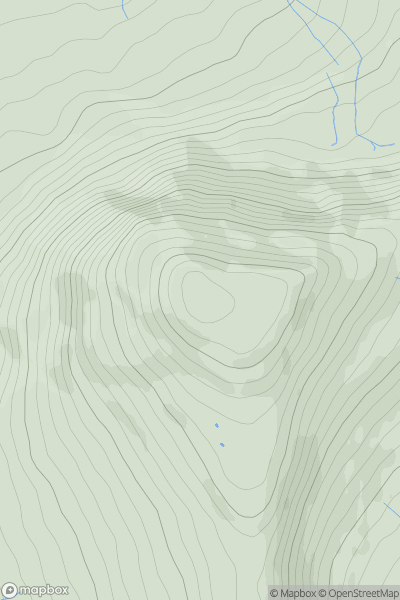
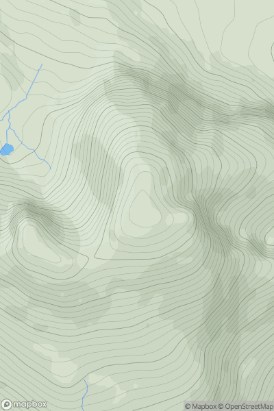
![Thumbnail image for Meall an Fheadain [Lochinver to Ullapool] showing contour plot for surrounding peak](/static/img/mountains_img_db/1217_Meall_an_Fheadain_[Lochinver_to_Ullapool].png)
0
Ascents
Lochinver to Ullapool
0
204.0User Activity
No recent Activity
0
Ascents
Applecross to Achnasheen
0
907.0User Activity
No recent Activity