


0
Ascents

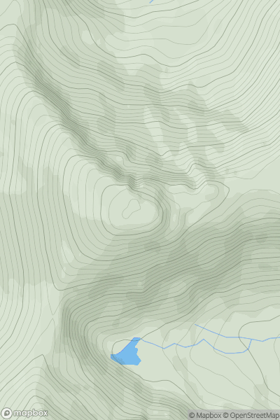
 Loch Duich to Cannich
 0
0 1182.8
User Activity
No recent Activity
![Thumbnail image for Creag Mhor [Loch Lomond to Strathyre] showing contour plot for surrounding peak](/static/img/mountains_img_db/54_Creag_Mhor_[Loch_Lomond_to_Strathyre].png)
0
Ascents
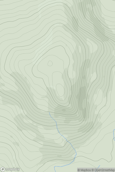
Loch Lomond to Strathyre
0
659.8User Activity
No recent Activity
0
Ascents
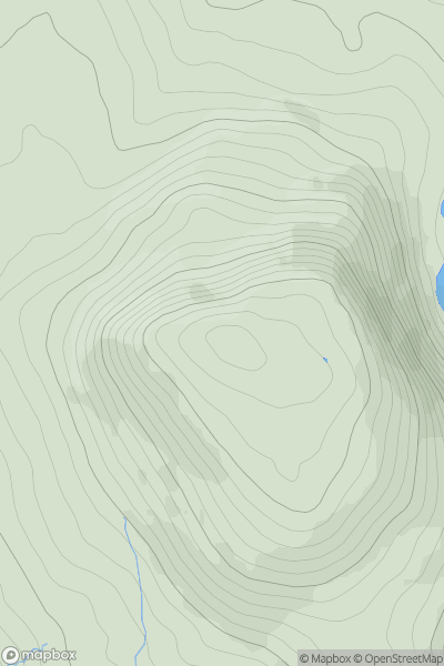
Barmouth to Betws-y-Coed and Bala
0
751.0User Activity
No recent Activity
_(Muckanaght).png)
0
Ascents
The Twelve Bens
0
654.0User Activity
No recent Activity
.png)
0
Ascents
Leitrim and W Cavan
0
415.0User Activity
No recent Activity
0
Ascents
Barmouth to Betws-y-Coed and Bala
0
689.0User Activity
No recent Activity