


0
Ascents

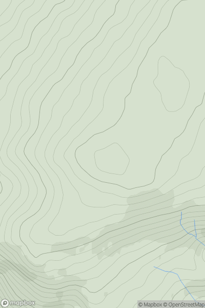
 Llandudno to Wrexham
 0
0 564.6
564.6User Activity
No recent Activity
0
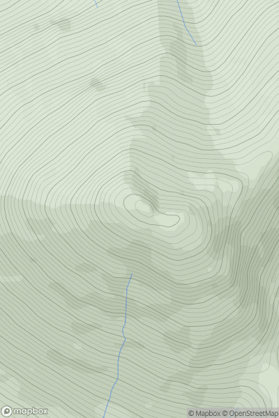
Ascents
Minginish and the Cuillin Hills
0
775.0User Activity
No recent Activity
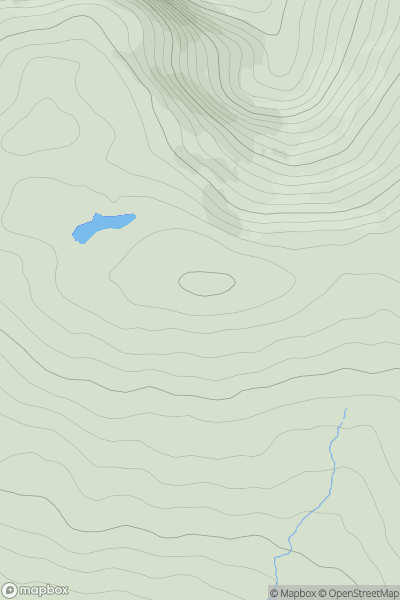
![Thumbnail image for Leathad Mor [Loch Leven to Rannoch Station] showing contour plot for surrounding peak](/static/img/mountains_img_db/189_Leathad_Mor_[Loch_Leven_to_Rannoch_Station].png)
0
Ascents
Loch Leven to Rannoch Station
0
547.0User Activity
No recent Activity
0
Ascents
Shehy Mountains
0
506.0User Activity
No recent Activity
![Thumbnail image for Common Hill [Ayr to the River Clyde] showing contour plot for surrounding peak](/static/img/mountains_img_db/1682_Common_Hill_[Ayr_to_the_River_Clyde].png)
0
Ascents
Ayr to the River Clyde
0
488.0User Activity
No recent Activity
![Thumbnail image for Beinn Bheag [Loch Fyne to Bute and the Firth of Clyde] showing contour plot for surrounding peak](/static/img/mountains_img_db/1431_Beinn_Bheag_[Loch_Fyne_to_Bute_and_the_Firth_of_Clyde].png)
0
Ascents
Loch Fyne to Bute and the Firth of Clyde
0
619.8User Activity
No recent Activity