


0
Ascents

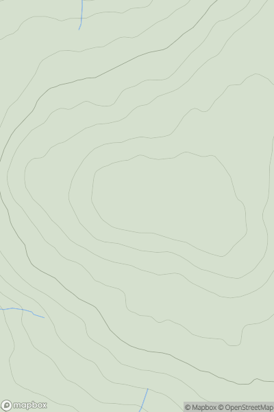
 Loch Lomond to Strathyre
 0
0 361.0
361.0User Activity
No recent Activity
0
Ascents
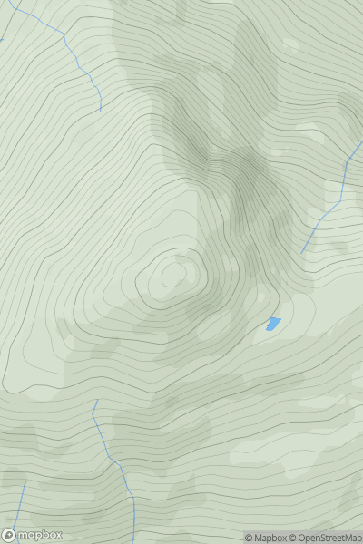
North Pennines
0
747.8User Activity
No recent Activity
0
Ascents
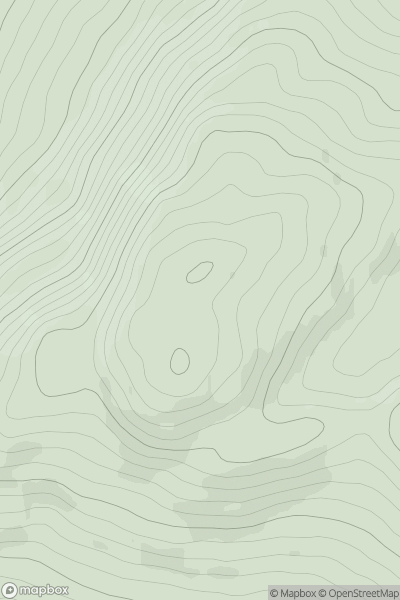
Loch Fyne to Bute and the Firth of Clyde
0
787.5User Activity
No recent Activity
.png)
0
Ascents
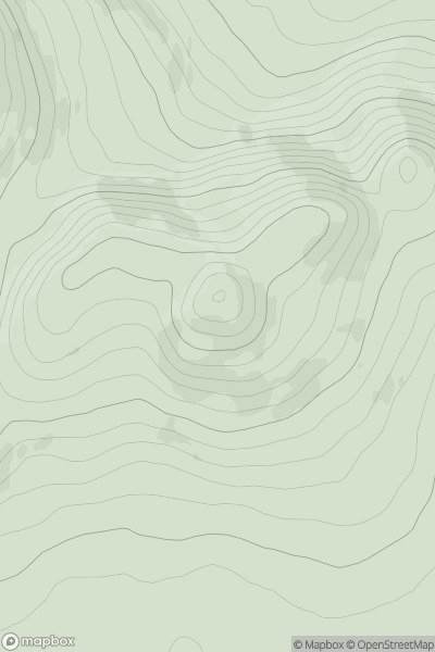
Antrim Mountains
0
478.0User Activity
No recent Activity
0
Ascents
North East Donegal
0
312.0User Activity
No recent Activity
0
Ascents
North East Donegal
0
291.0User Activity
No recent Activity