

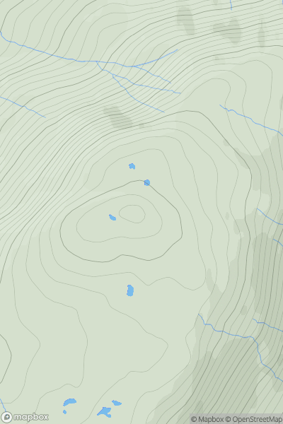
![Thumbnail image for Long Crag [Northumberland] showing contour plot for surrounding peak](/static/img/mountains_img_db/2316_Long_Crag_[Northumberland].png)


0
Ascents

 Northumberland
 0
0 319.3
319.3User Activity
No recent Activity
.png)
0
Ascents
Dingle Peninsula - E of Dingle
0
641.6User Activity
No recent Activity
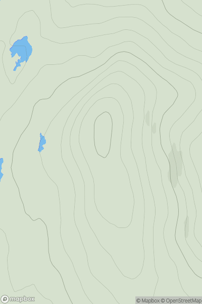
![Thumbnail image for Woodhead Hill [The Glenkens to Annandale] showing contour plot for surrounding peak](/static/img/mountains_img_db/1796_Woodhead_Hill_[The_Glenkens_to_Annandale].png)
0
Ascents
The Glenkens to Annandale
0
258.0User Activity
No recent Activity
0
Ascents
Morvern and Kingairloch
0
479.0User Activity
No recent Activity
![Thumbnail image for Earl's Seat [Central Scotland from Dumbarton to Montrose] showing contour plot for surrounding peak](/static/img/mountains_img_db/1656_Earl's_Seat_[Central_Scotland_from_Dumbarton_to_Montrose].png)
0
Ascents
Central Scotland from Dumbarton to Montrose
0
578.0User Activity
No recent Activity
0
Ascents
Durness to Loch Shin
0
357.0User Activity
No recent Activity