


0
Ascents

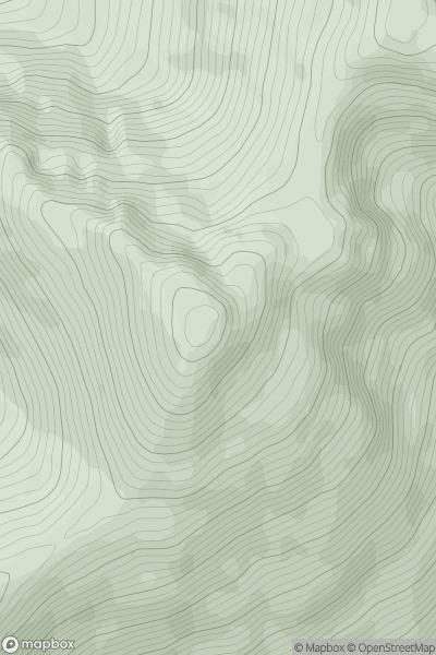
 Moidart and Ardnamurchan
 0
0 883.3
883.3User Activity
No recent Activity
.png)
0
Ascents
North Uist, South Uist and Nearby Islands
0
525.6User Activity
No recent Activity
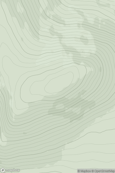
0
Ascents
Loch Maree to Loch Broom
0
682.3User Activity
No recent Activity
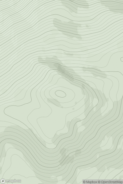
0
Ascents
Killilan to Inverness
0
817.9User Activity
No recent Activity
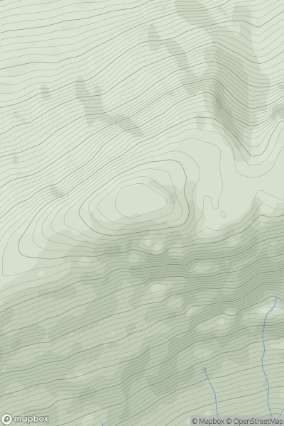
0
Ascents
Fort William to Loch Treig & Loch Leven
0
796.0User Activity
No recent Activity
.png)
0
Ascents
Shehy Mountains
0
838.2User Activity
No recent Activity