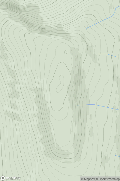
Ariel drone view of mountainous landscape with rolling clouds flowing over peak

Journal your hikes and share your adventures.

Bag peaks across the UK & Ireland, track your progress and see updates from Donder's growing community of hikers.

Donder's profile view available to users after sign-up, shows example user with progress tracking, hiking journal and user leaderboard

Thumbnail image for Corryhabbie Hill showing contour plot for surrounding peak
SCO
Icon of location pin
781m
Icon of vertical, double ended, arrow to symbolise height of mountain

Corryhabbie Hill

Icon of mountain used to symbolise the number of ascents made by users

0
Ascents

Thumbnail image for Ruadh Stac Mor showing contour plot for surrounding peak
SCO
Icon of location pin
919m
Icon of vertical, double ended, arrow to symbolise height of mountain

Ruadh Stac Mor

Icon of mountain used to symbolise the number of ascents made by users

0
Ascents

Thumbnail image for Beinn Lunndaidh showing contour plot for surrounding peak
SCO
Icon of location pin
447m
Icon of vertical, double ended, arrow to symbolise height of mountain

Beinn Lunndaidh

Icon of mountain used to symbolise the number of ascents made by users

0
Ascents

Thumbnail image for Wild Boar Fell showing contour plot for surrounding peak
ENG
Icon of location pin
708m
Icon of vertical, double ended, arrow to symbolise height of mountain

Wild Boar Fell

Icon of mountain used to symbolise the number of ascents made by users

0
Ascents

Thumbnail image for Fan Nedd showing contour plot for surrounding peak
WLS
Icon of location pin
663m
Icon of vertical, double ended, arrow to symbolise height of mountain

Fan Nedd

Icon of mountain used to symbolise the number of ascents made by users

0
Ascents

Thumbnail image for Dunkery Beacon showing contour plot for surrounding peak
ENG
Icon of location pin
519m
Icon of vertical, double ended, arrow to symbolise height of mountain

Dunkery Beacon

Icon of mountain used to symbolise the number of ascents made by users

0
Ascents