


0
Ascents

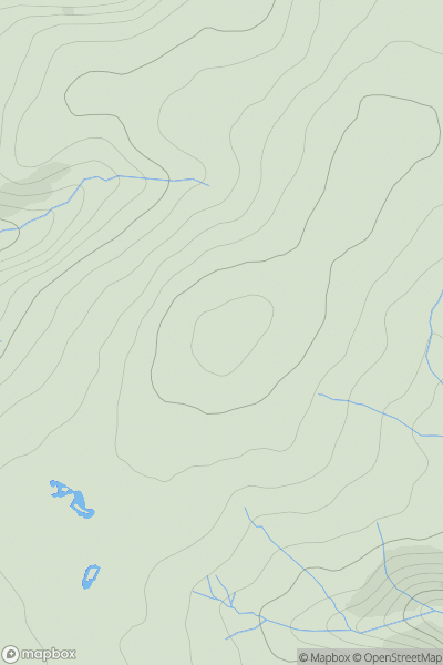
 Shropshire
 0
0 516.6
516.6User Activity
No recent Activity
0
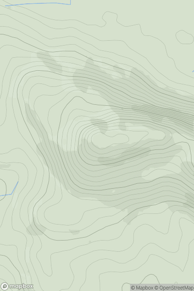
Ascents
Anglesey and the Lleyn Peninsula
0
263.0User Activity
No recent Activity
0
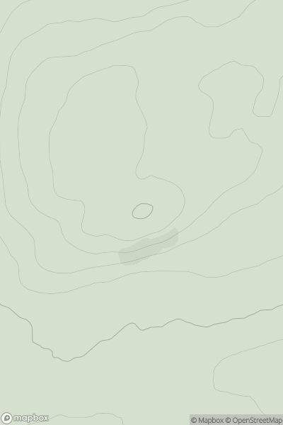
Ascents
Loch Vaich to Moray Firth
0
205.0User Activity
No recent Activity
0
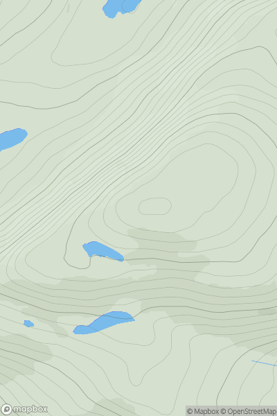
Ascents
Loch Broom to Strath Oykel
0
549.0User Activity
No recent Activity
0
Ascents
Mallaig to Fort William
0
710.0User Activity
No recent Activity
0
Ascents
Carmarthen to Vale of Neath
0
481.0User Activity
No recent Activity