


0
Ascents

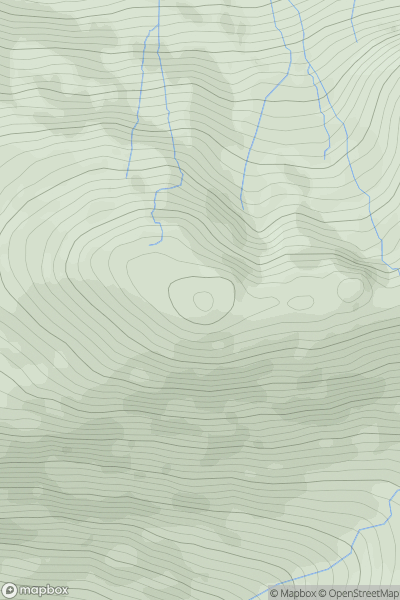
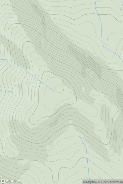
 Loch Linnhe to Loch Etive
 0
0 772.0
772.0User Activity
No recent Activity
0
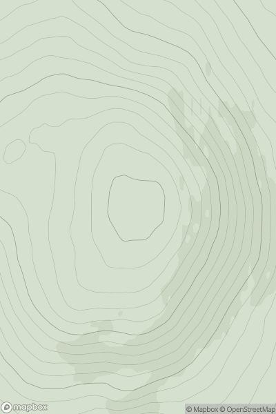
Ascents
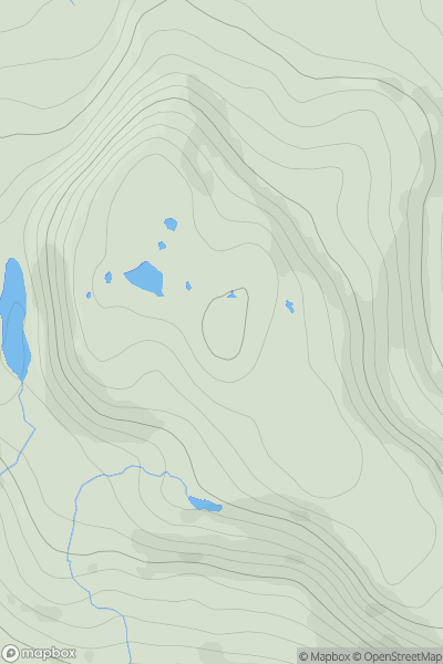
Minginish and the Cuillin Hills
0
369.0User Activity
No recent Activity
0
Ascents
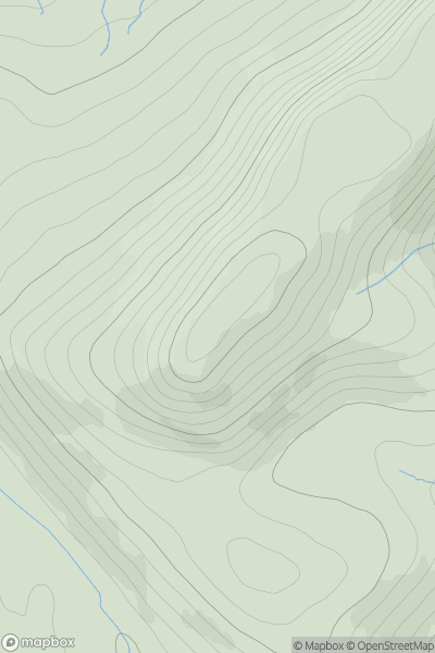
Loch Vaich to Moray Firth
0
373.0User Activity
No recent Activity
0
Ascents
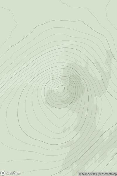
Tongue to Wick and Helmsdale
0
484.0User Activity
No recent Activity
0
Ascents
Tongue to Wick and Helmsdale
0
527.0User Activity
No recent Activity
0
Ascents
Inverness to Strathspey
0
456.0User Activity
No recent Activity