

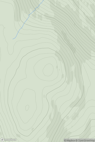
_(Taobh_na_Binne).png)


0
Ascents

 South Mayo and Central Galway
 0
0 379.0
379.0User Activity
No recent Activity
0
Ascents
Fort William to Loch Treig & Loch Leven
0
742.0User Activity
No recent Activity
0
Ascents
Firth of Forth to the River Tweed
0
537.0User Activity
No recent Activity
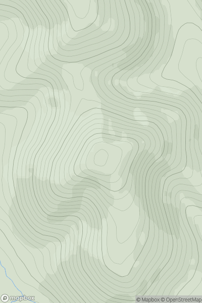
![Thumbnail image for Sgurr a' Chaorachain [Kyle of Lochalsh to Garve] showing contour plot for surrounding peak](/static/img/mountains_img_db/885_Sgurr_a'_Chaorachain_[Kyle_of_Lochalsh_to_Garve].png)
0
Ascents
Kyle of Lochalsh to Garve
0
1053.0User Activity
No recent Activity
0
Ascents
Pitlochry to Braemar & Blairgowrie
0
1070.0User Activity
No recent Activity
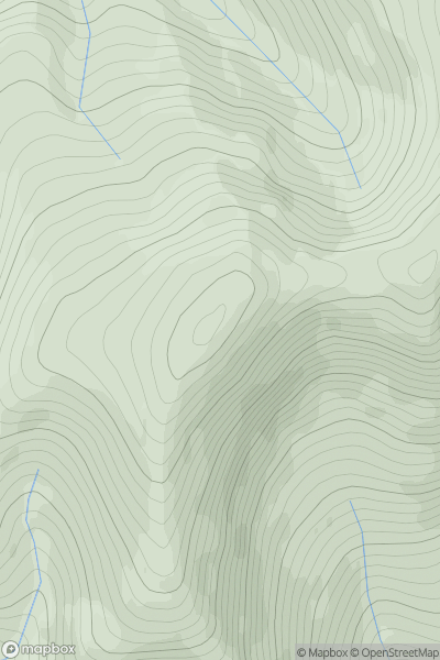
![Thumbnail image for Garbh Bheinn [Loch Leven to Rannoch Station] showing contour plot for surrounding peak](/static/img/mountains_img_db/185_Garbh_Bheinn_[Loch_Leven_to_Rannoch_Station].png)
0
Ascents
Loch Leven to Rannoch Station
0
867.0User Activity
No recent Activity