

).png)


0
Ascents

 North Cork
 0
0 694.0
694.0User Activity
No recent Activity
.png)
0
Ascents
Iveragh Peninsula N
0
159.0User Activity
No recent Activity
.png)
0
Ascents
Sligo and N Roscommon
0
327.0User Activity
No recent Activity
.png)
0
Ascents
Waterford, Kilkenny, Carlow
0
732.1User Activity
No recent Activity
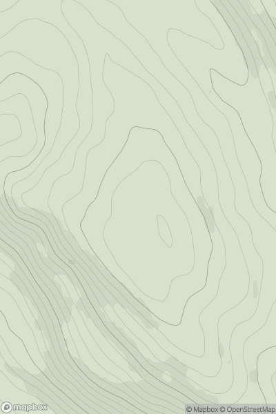
![Thumbnail image for Meall an Fhuarain [Durness to Loch Shin] showing contour plot for surrounding peak](/static/img/mountains_img_db/1141_Meall_an_Fhuarain_[Durness_to_Loch_Shin].png)
0
Ascents
Durness to Loch Shin
0
472.0User Activity
No recent Activity
0
Ascents
Mull and Nearby Islands
0
275.5User Activity
No recent Activity