


0
Ascents

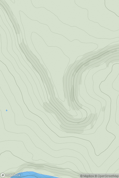
 South Central England
 0
0 206.6
206.6User Activity
No recent Activity
0
Ascents
Wicklow Hills N
0
342.0User Activity
No recent Activity
![Thumbnail image for Fforest [South-West Wales] showing contour plot for surrounding peak](/static/img/mountains_img_db/2216_Fforest_[South-West_Wales].png)
0
Ascents
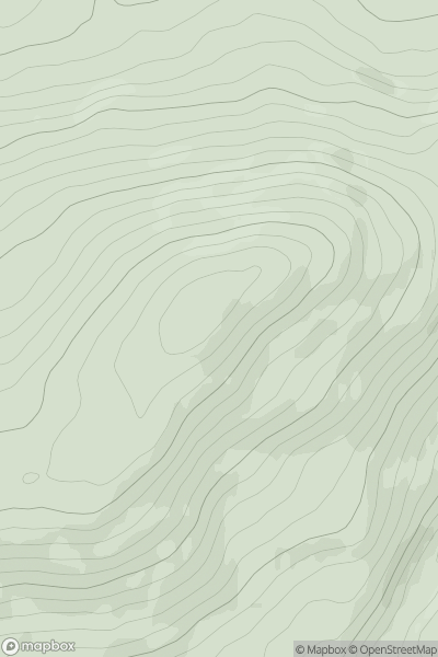
South-West Wales
0
341.3User Activity
No recent Activity
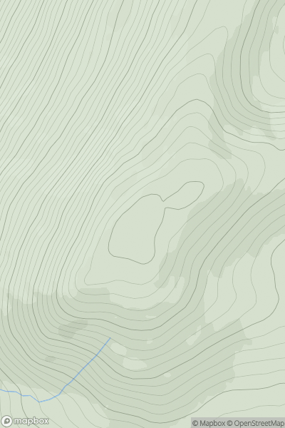
![Thumbnail image for Beinn Ghlas [Glen Lyon to Glen Dochart & Loch Tay] showing contour plot for surrounding peak](/static/img/mountains_img_db/144_Beinn_Ghlas_[Glen_Lyon_to_Glen_Dochart_&_Loch_Tay].png)
0
Ascents
Glen Lyon to Glen Dochart & Loch Tay
0
1103.0User Activity
No recent Activity
0
Ascents
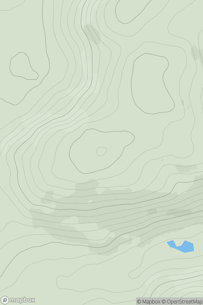
The River Tweed to the English Border
0
664.2User Activity
No recent Activity
0
Ascents
The Glenkens to Annandale
0
217.0User Activity
No recent Activity