


0
Ascents

 Firth of Forth to the River Tweed
 0
0 325.0
325.0User Activity
No recent Activity
0
Ascents
Loch Fyne to Bute and the Firth of Clyde
0
209.0User Activity
No recent Activity
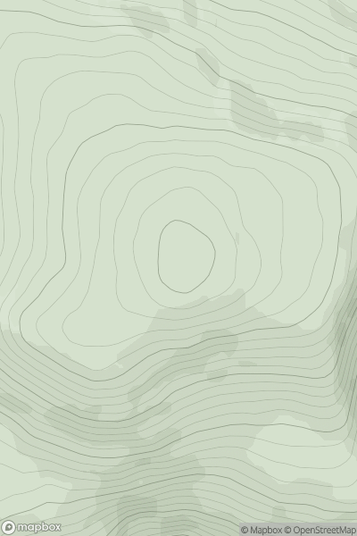
![Thumbnail image for Yr Allt [Llandovery to Monmouth] [SO085307] showing contour plot for surrounding peak](/static/img/mountains_img_db/5260_Yr_Allt_[Llandovery_to_Monmouth]_[SO085307].png)
0
Ascents
Llandovery to Monmouth
0
333.0User Activity
No recent Activity
0
Ascents
Achill Island
0
108.5User Activity
No recent Activity
0
Ascents
Barmouth to Betws-y-Coed and Bala
0
503.0User Activity
No recent Activity
0
Ascents
Loch Broom to Strath Oykel
0
909.0User Activity
No recent Activity