


0
Ascents

 Scourie to Lairg
 0
0 285.0
285.0User Activity
No recent Activity
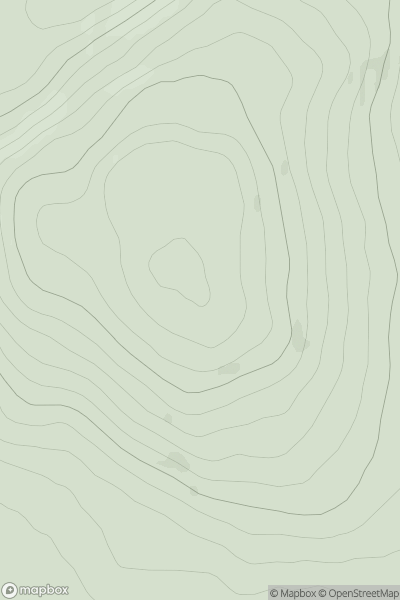
![Thumbnail image for Scout Hill [Lake District S] showing contour plot for surrounding peak](/static/img/mountains_img_db/5293_Scout_Hill_[Lake_District_S].png)
0
Ascents
Lake District S
0
285.0User Activity
No recent Activity
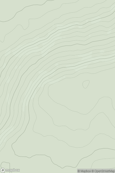
![Thumbnail image for Beinn Bhuidhe [Moidart and Ardnamurchan] [NM570631] showing contour plot for surrounding peak](/static/img/mountains_img_db/4822_Beinn_Bhuidhe_[Moidart_and_Ardnamurchan]_[NM570631].png)
0
Ascents
Moidart and Ardnamurchan
0
282.0User Activity
No recent Activity
0
Ascents
The River Tees to The Wash
0
242.9User Activity
No recent Activity
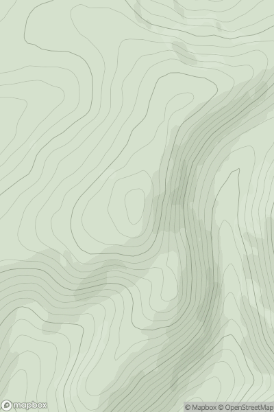
![Thumbnail image for Langley Hill [Central and Eastern England] showing contour plot for surrounding peak](/static/img/mountains_img_db/5382_Langley_Hill_[Central_and_Eastern_England].png)
0
Ascents
Central and Eastern England
0
274.2User Activity
No recent Activity
0
Ascents
The River Tweed to the English Border
0
637.0User Activity
No recent Activity