

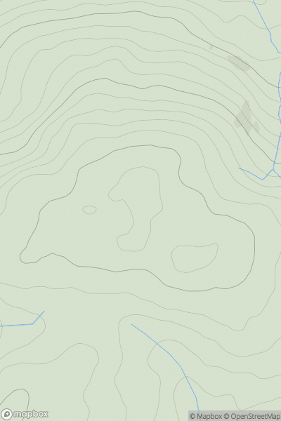
![Thumbnail image for Meall Buidhe [Glen Tromie to Glen Tilt] showing contour plot for surrounding peak](/static/img/mountains_img_db/4075_Meall_Buidhe_[Glen_Tromie_to_Glen_Tilt].png)


0
Ascents

 Glen Tromie to Glen Tilt
 0
0 627.9
627.9User Activity
No recent Activity
0
Ascents
South-West Wales
0
415.0User Activity
No recent Activity
0
Ascents
Londonderry and N Tyrone
0
268.0User Activity
No recent Activity
0
Ascents
Tongue to Wick and Helmsdale
0
269.0User Activity
No recent Activity
.png)
0
Ascents
Lewis and Nearby Islands
0
136.0User Activity
No recent Activity
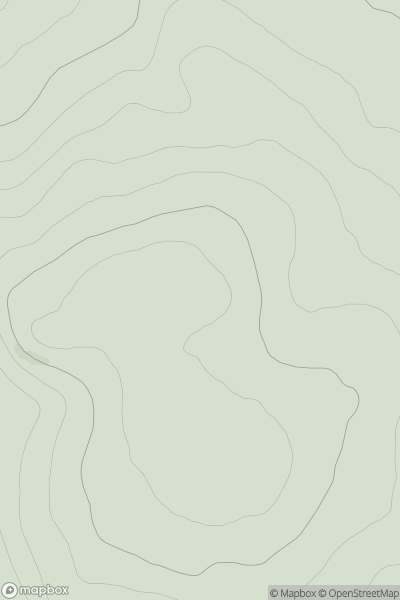
![Thumbnail image for Cnoc an Daimh [Pitlochry to Braemar & Blairgowrie] showing contour plot for surrounding peak](/static/img/mountains_img_db/4601_Cnoc_an_Daimh_[Pitlochry_to_Braemar_&_Blairgowrie].png)
0
Ascents
Pitlochry to Braemar & Blairgowrie
0
514.0User Activity
No recent Activity