


0
Ascents

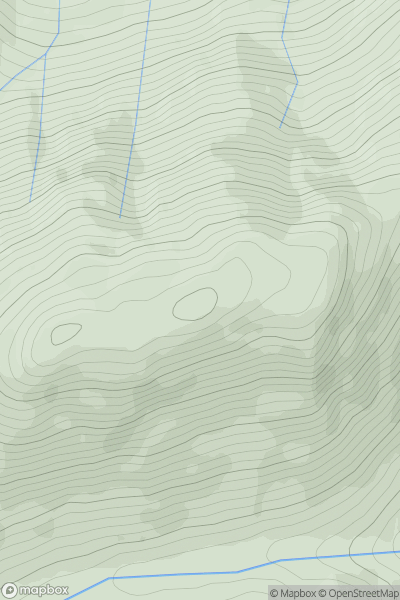
 Mallaig to Fort William
 0
0 569.0
569.0User Activity
No recent Activity
0
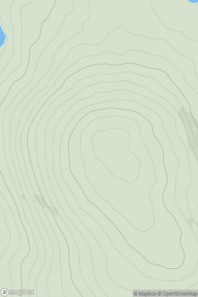
Ascents
Maumturk Mountains
0
280.0User Activity
No recent Activity
0
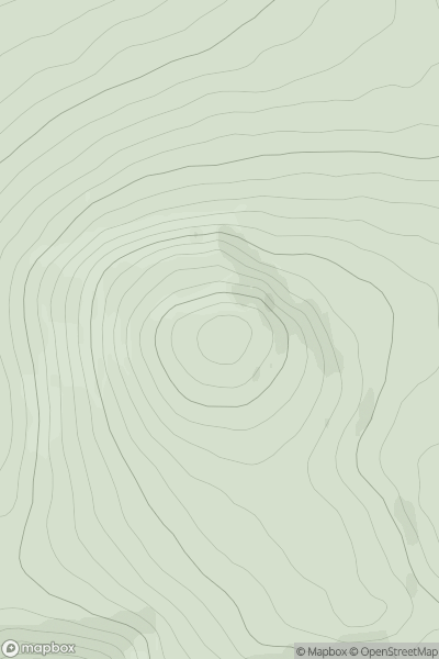
Ascents
Loch Rannoch to Glen Lyon
0
829.8User Activity
No recent Activity
0
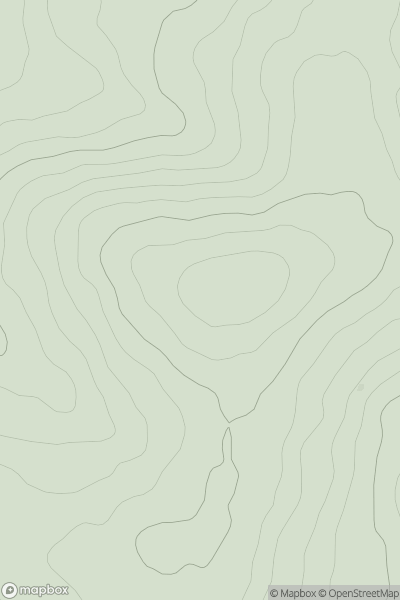
Ascents
Wicklow Hills N
0
332.0User Activity
No recent Activity
.png)
0
Ascents
Maumturk Mountains
0
560.0User Activity
No recent Activity
0
Ascents
Loch Tay to Perth
0
619.0User Activity
No recent Activity