


0
Ascents

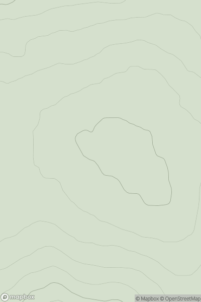
 Loch Rannoch to Glen Lyon
 0
0 874.7
874.7User Activity
No recent Activity
.png)
0
Ascents
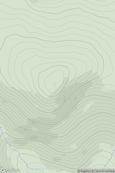
Blue Stack Mountains
0
175.0User Activity
No recent Activity
0
Ascents
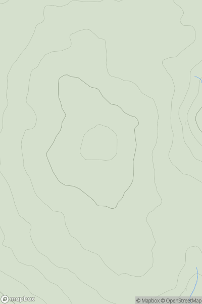
Inverness to Strathspey
0
404.0User Activity
No recent Activity
0
Ascents
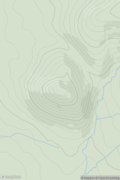
Braemar to Montrose
0
928.6User Activity
No recent Activity
0
Ascents
South West England
0
515.0User Activity
No recent Activity
0
Ascents
North Pennines
0
398.0User Activity
No recent Activity