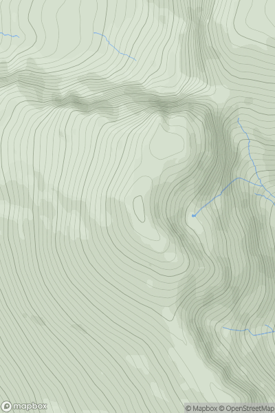
Ariel drone view of mountainous landscape with rolling clouds flowing over peak

Journal your hikes and share your adventures.

Bag peaks across the UK & Ireland, track your progress and see updates from Donder's growing community of hikers.

Donder's profile view available to users after sign-up, shows example user with progress tracking, hiking journal and user leaderboard

Thumbnail image for Scafell showing contour plot for surrounding peak
ENG
Icon of location pin
964m
Icon of vertical, double ended, arrow to symbolise height of mountain

Scafell

Icon of mountain used to symbolise the number of ascents made by users

0
Ascents

Thumbnail image for Beinn a' Chait showing contour plot for surrounding peak
SCO
Icon of location pin
899m
Icon of vertical, double ended, arrow to symbolise height of mountain

Beinn a' Chait

Icon of mountain used to symbolise the number of ascents made by users

0
Ascents

Thumbnail image for Mynydd Ferddin showing contour plot for surrounding peak
ENG
Icon of location pin
323m
Icon of vertical, double ended, arrow to symbolise height of mountain

Mynydd Ferddin

Icon of mountain used to symbolise the number of ascents made by users

0
Ascents

Thumbnail image for Gortrumnagh showing contour plot for surrounding peak
IRE
Icon of location pin
174m
Icon of vertical, double ended, arrow to symbolise height of mountain

Gortrumnagh

Icon of mountain used to symbolise the number of ascents made by users

0
Ascents

Thumbnail image for Creag Phitiulais showing contour plot for surrounding peak
SCO
Icon of location pin
447m
Icon of vertical, double ended, arrow to symbolise height of mountain

Creag Phitiulais

Icon of mountain used to symbolise the number of ascents made by users

0
Ascents

Thumbnail image for Garreg Lwyd (Moel Gornach) showing contour plot for surrounding peak
WLS
Icon of location pin
616m
Icon of vertical, double ended, arrow to symbolise height of mountain

Garreg Lwyd (Moel Gornach)

Icon of mountain used to symbolise the number of ascents made by users

0
Ascents