


0
Ascents

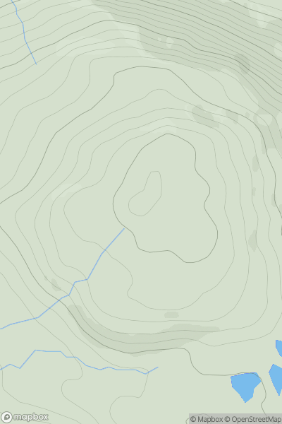
 Loch Ericht to Glen Tromie & Glen Garry
 0
0 470.0
470.0User Activity
No recent Activity
.png)
0
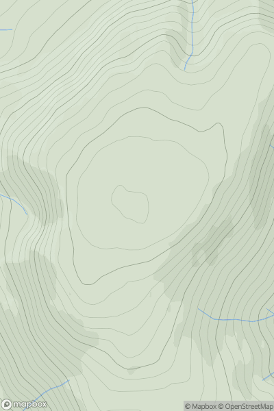
Ascents
Harris and Nearby Islands
0
556.0User Activity
No recent Activity
0
Ascents
The River Tweed to the English Border
0
521.0User Activity
No recent Activity
0
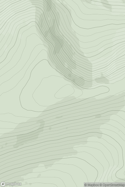
Ascents
Glen Albyn and the Monadh Liath
0
833.6User Activity
No recent Activity
0
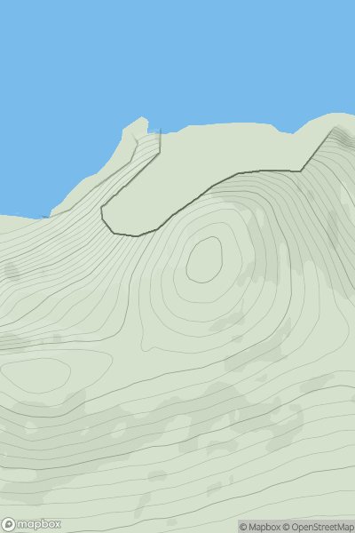
Ascents
Achill Island
0
269.0User Activity
No recent Activity
0
Ascents
Slieve Bloom Mountains
0
337.0User Activity
No recent Activity