

![Thumbnail image for Knockroe [Knockmealdown, Comeragh and Monavullagh Mountains] showing contour plot for surrounding peak](/static/img/mountains_img_db/20936_Knockroe_[Knockmealdown,_Comeragh_and_Monavullagh_Mountains].png)


0
Ascents

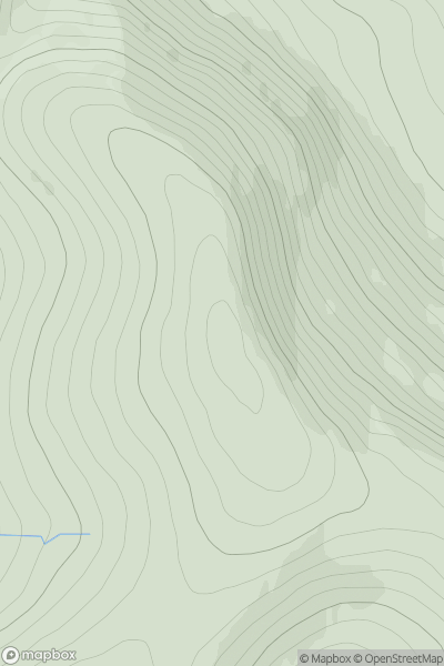
 Knockmealdown, Comeragh and Monavullagh Mountains
 0
0 177.0
177.0User Activity
No recent Activity
.png)
0
Ascents
Harris and Nearby Islands
0
158.0User Activity
No recent Activity
0
Ascents
Braemar to Montrose
0
688.0User Activity
No recent Activity
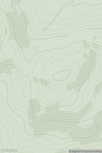
![Thumbnail image for Black Knowe [The River Tweed to the English Border] [NT225109] showing contour plot for surrounding peak](/static/img/mountains_img_db/5111_Black_Knowe_[The_River_Tweed_to_the_English_Border]_[NT225109].png)
0
Ascents
The River Tweed to the English Border
0
549.0User Activity
No recent Activity
0
Ascents
Glen Albyn and the Monadh Liath
0
811.0User Activity
No recent Activity
0
Ascents
Iveragh Peninsula S
0
261.0User Activity
No recent Activity