


0
Ascents

 Loch Tay to Perth
 0
0 519.9
519.9User Activity
No recent Activity
0
Ascents
Shropshire
0
408.0User Activity
No recent Activity
0
Ascents
The River Tweed to the English Border
0
541.0User Activity
No recent Activity
0
Ascents
North Skye and Raasay
0
371.0User Activity
No recent Activity
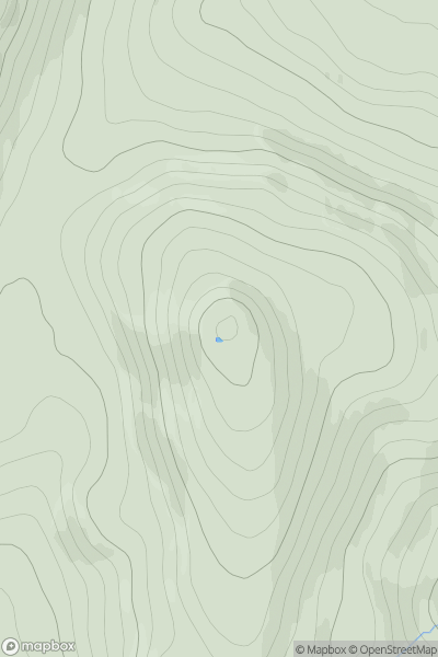
![Thumbnail image for Green Crag [Lake District S] showing contour plot for surrounding peak](/static/img/mountains_img_db/2655_Green_Crag_[Lake_District_S].png)
0
Ascents
Lake District S
0
488.7User Activity
No recent Activity
0
Ascents
Neath to Chepstow
0
491.0User Activity
No recent Activity