


0
Ascents

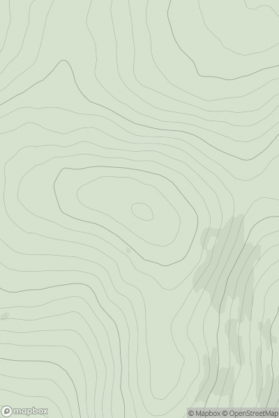
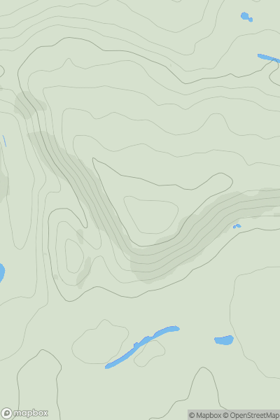
 Firth of Forth to the River Tweed
 0
0 373.9
373.9User Activity
No recent Activity
0
Ascents
South-West Wales
0
347.0User Activity
No recent Activity
0
Ascents
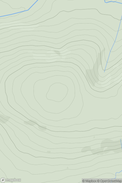
Northumberland
0
344.7User Activity
No recent Activity
0
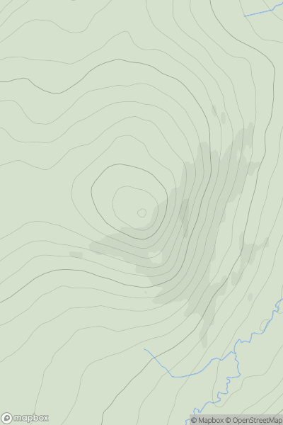
Ascents
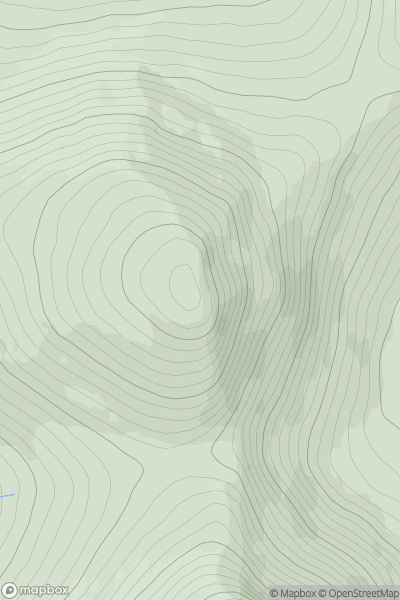
Loch Treig to Loch Ericht
0
929.0User Activity
No recent Activity
0
Ascents
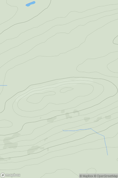
Shropshire
0
208.0User Activity
No recent Activity
0
Ascents
The River Tweed to the English Border
0
439.0User Activity
No recent Activity