


0
Ascents

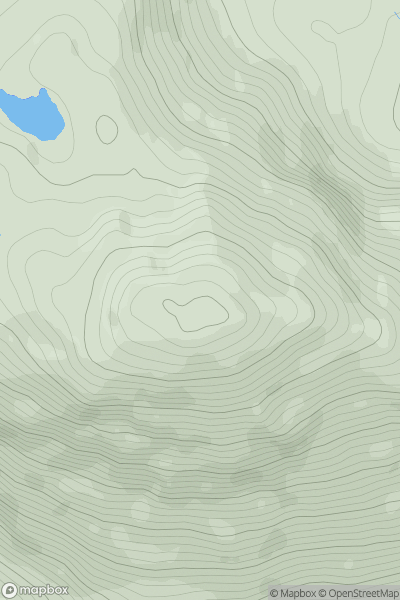
 Mallaig to Fort William
 0
0 562.0
562.0User Activity
No recent Activity
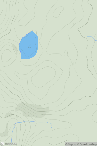
![Thumbnail image for Sgurr Thuilm [Minginish and the Cuillin Hills] showing contour plot for surrounding peak](/static/img/mountains_img_db/3294_Sgurr_Thuilm_[Minginish_and_the_Cuillin_Hills].png)
0
Ascents
Minginish and the Cuillin Hills
0
881.0User Activity
No recent Activity
0
Ascents
Lake District S
0
205.0User Activity
No recent Activity
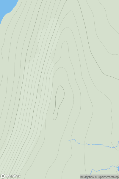
![Thumbnail image for Barr Mor [Loch Linnhe to Loch Etive] [NM814388] showing contour plot for surrounding peak](/static/img/mountains_img_db/4593_Barr_Mor_[Loch_Linnhe_to_Loch_Etive]_[NM814388].png)
0
Ascents
Loch Linnhe to Loch Etive
0
127.0User Activity
No recent Activity
![Thumbnail image for Meallan Odhar [Glen Affric to Glen Moriston] showing contour plot for surrounding peak](/static/img/mountains_img_db/4336_Meallan_Odhar_[Glen_Affric_to_Glen_Moriston].png)
0
Ascents
Glen Affric to Glen Moriston
0
612.0User Activity
No recent Activity
0
Ascents
Shetland Islands
0
158.0User Activity
No recent Activity