


0
Ascents

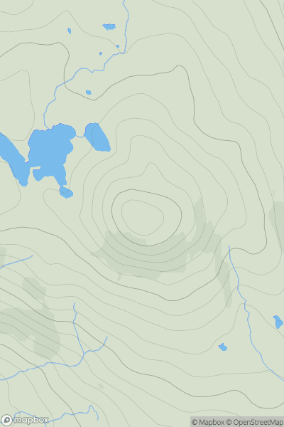
 Canna, Rhum and Eigg
 0
0 280.0
280.0User Activity
No recent Activity
.png)
0
Ascents
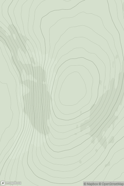
Lake District N
0
502.0User Activity
No recent Activity
0
Ascents
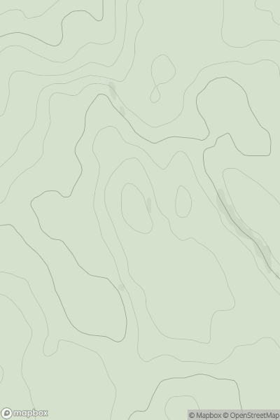
Nephin Beg Range
0
282.0User Activity
No recent Activity
0
Ascents
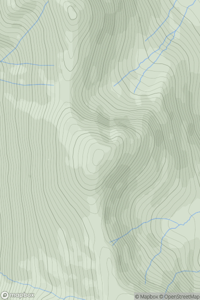
Central Pennines
0
538.0User Activity
No recent Activity
0
Ascents
Lake District E
0
757.0User Activity
No recent Activity
0
Ascents
Lake District C&W
0
523.0User Activity
No recent Activity