


0
Ascents

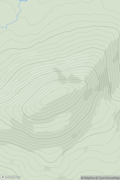
 Beara Peninsula
 0
0 362.0
362.0User Activity
No recent Activity
0
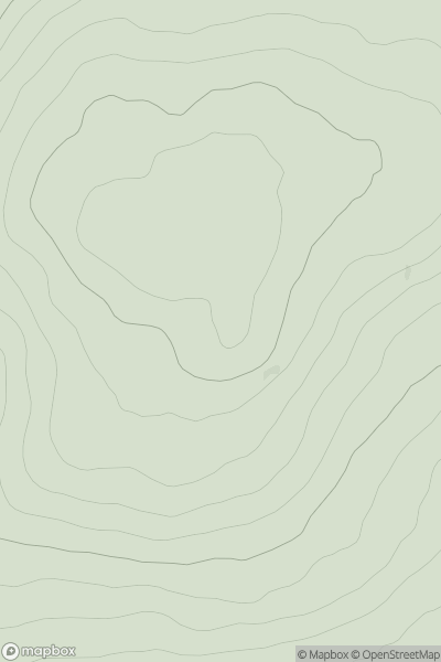
Ascents
The Glenkens to Annandale
0
321.0User Activity
No recent Activity
0
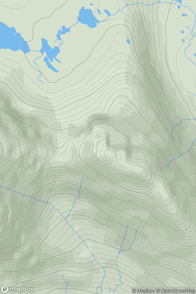
Ascents
Loch Torridon to Loch Maree
0
864.0User Activity
No recent Activity
.png)
0
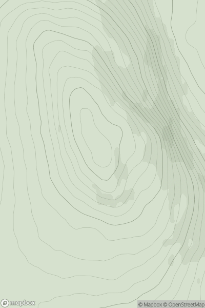
Ascents
Iveragh Peninsula S
0
162.0User Activity
No recent Activity
0
Ascents
Tomintoul to Banff
0
312.0User Activity
No recent Activity
0
Ascents
Kyle of Lochalsh to Garve
0
116.0User Activity
No recent Activity