

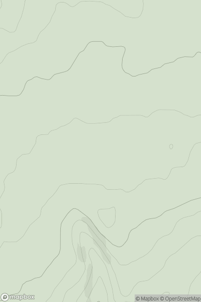
![Thumbnail image for Crib Law [The River Tweed to the English Border] showing contour plot for surrounding peak](/static/img/mountains_img_db/5124_Crib_Law_[The_River_Tweed_to_the_English_Border].png)


0
Ascents

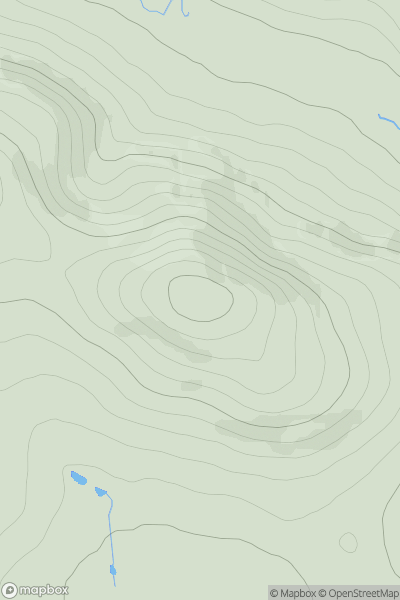
 The River Tweed to the English Border
 0
0 424.0
424.0User Activity
No recent Activity
0
Ascents
Fraserburgh to the Dee Valley
0
311.0User Activity
No recent Activity
0
Ascents
Glen Shiel to Loch Hourn and Loch Quoich
0
1004.0User Activity
No recent Activity
0
Ascents
Northumberland
0
714.4User Activity
No recent Activity
0
Ascents
South-West Wales
0
278.0User Activity
No recent Activity
0
Ascents
The River Tees to The Wash
0
163.9User Activity
No recent Activity