

.png)


0
Ascents

 South Central England
 0
0 175.5
175.5User Activity
No recent Activity
.png)
0
Ascents
Dingle Peninsula - W of Dingle
0
761.9User Activity
No recent Activity
0
Ascents
Bala to Welshpool
0
224.6User Activity
No recent Activity
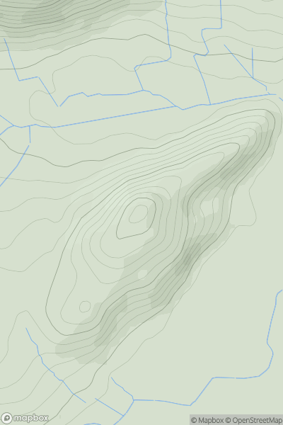
![Thumbnail image for Pike Fell [The River Tweed to the English Border] [NT534063] showing contour plot for surrounding peak](/static/img/mountains_img_db/5126_Pike_Fell_[The_River_Tweed_to_the_English_Border]_[NT534063].png)
0
Ascents
The River Tweed to the English Border
0
400.0User Activity
No recent Activity
0
Ascents
Central and Eastern England
0
276.5User Activity
No recent Activity
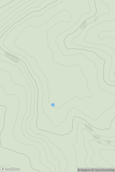
![Thumbnail image for Carn Ban [Kyle of Lochalsh to Garve] showing contour plot for surrounding peak](/static/img/mountains_img_db/4341_Carn_Ban_[Kyle_of_Lochalsh_to_Garve].png)
0
Ascents
Kyle of Lochalsh to Garve
0
737.0User Activity
No recent Activity