


0
Ascents

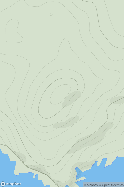
 Shetland Islands
 0
0 122.0
122.0User Activity
No recent Activity
0
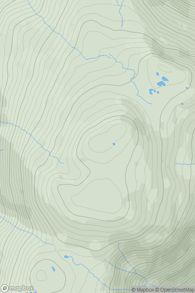
Ascents
Lake District C&W
0
783.0User Activity
No recent Activity
.png)
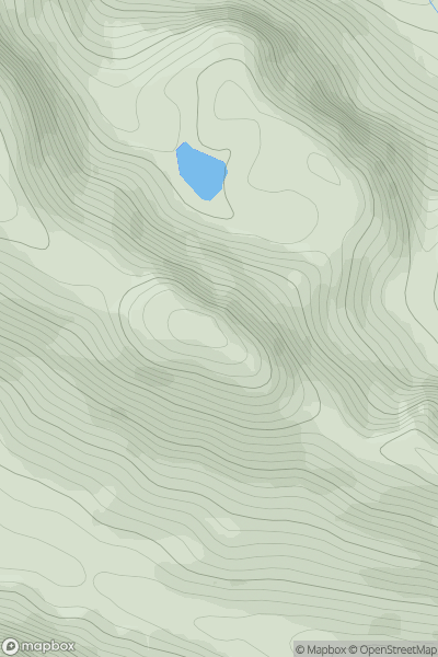
0
Ascents
Oban to Loch Fyne
0
346.0User Activity
No recent Activity
![Thumbnail image for Tower Hill [Knockmealdown, Comeragh and Monavullagh Mountains] showing contour plot for surrounding peak](/static/img/mountains_img_db/20850_Tower_Hill_[Knockmealdown,_Comeragh_and_Monavullagh_Mountains].png)
0
Ascents
Knockmealdown, Comeragh and Monavullagh Mountains
0
238.0User Activity
No recent Activity
0
Ascents
Loch Maree to Loch Broom
0
652.0User Activity
No recent Activity
![Thumbnail image for Dinas [South-West Wales] showing contour plot for surrounding peak](/static/img/mountains_img_db/2218_Dinas_[South-West_Wales].png)
0
Ascents
South-West Wales
0
331.0User Activity
No recent Activity