


0
Ascents

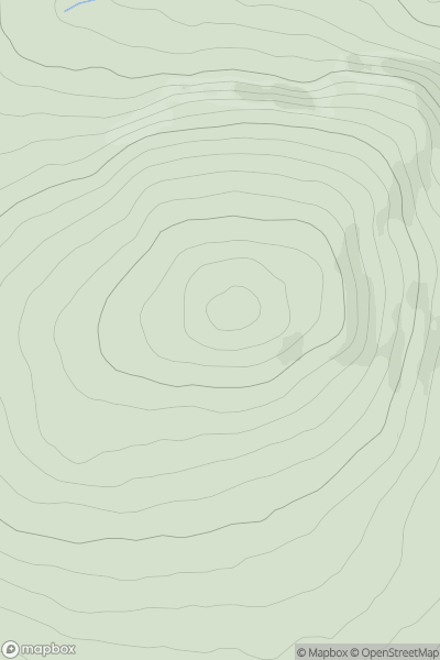
 Welsh Borders S
 0
0 338.0
338.0User Activity
No recent Activity
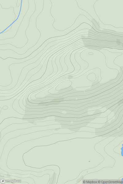
![Thumbnail image for Beinn Gharbh [Mallaig to Fort William] [NM882876] showing contour plot for surrounding peak](/static/img/mountains_img_db/778_Beinn_Gharbh_[Mallaig_to_Fort_William]_[NM882876].png)
0
Ascents
Mallaig to Fort William
0
895.3User Activity
No recent Activity
0
Ascents
North Cork
0
322.0User Activity
No recent Activity
0
Ascents
Iveragh Peninsula N
0
219.0User Activity
No recent Activity
0
Ascents
Bala to Welshpool
0
394.0User Activity
No recent Activity
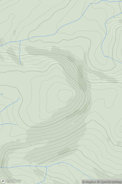
![Thumbnail image for Black Hill [County Tipperary] showing contour plot for surrounding peak](/static/img/mountains_img_db/20864_Black_Hill_[County_Tipperary].png)
0
Ascents
County Tipperary
0
228.0User Activity
No recent Activity