


0
Ascents

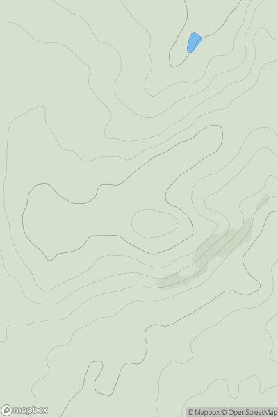
 Central and Eastern England
 0
0 207.0
207.0User Activity
No recent Activity
0
Ascents
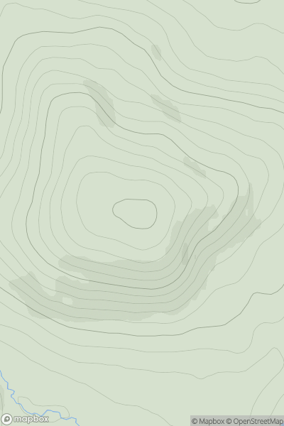
Cairngorms
0
506.0User Activity
No recent Activity
0
Ascents
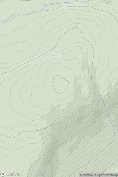
Knapdale and Kintyre
0
406.0User Activity
No recent Activity
0
Ascents
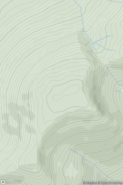
Dolgellau to Machynlleth
0
670.0User Activity
No recent Activity
.png)
0
Ascents
Minginish and the Cuillin Hills
0
141.0User Activity
No recent Activity
0
Ascents
Pitlochry to Braemar & Blairgowrie
0
633.0User Activity
No recent Activity